LAND AUCTION 446.83 Acres m/l in 2 Tracts, Center Township, Monona County, IA
Saturday, March 11, 2017 at 10:00am
511 Main Street
Mapleton, IA 51034
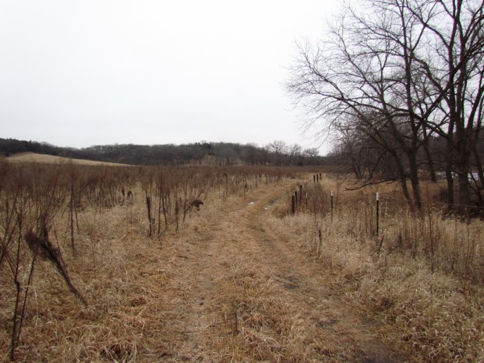
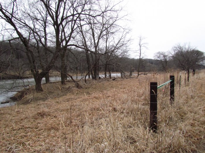
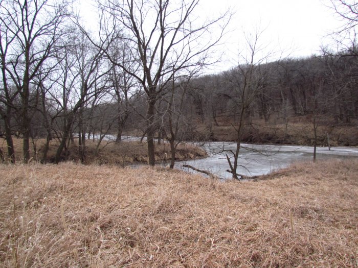
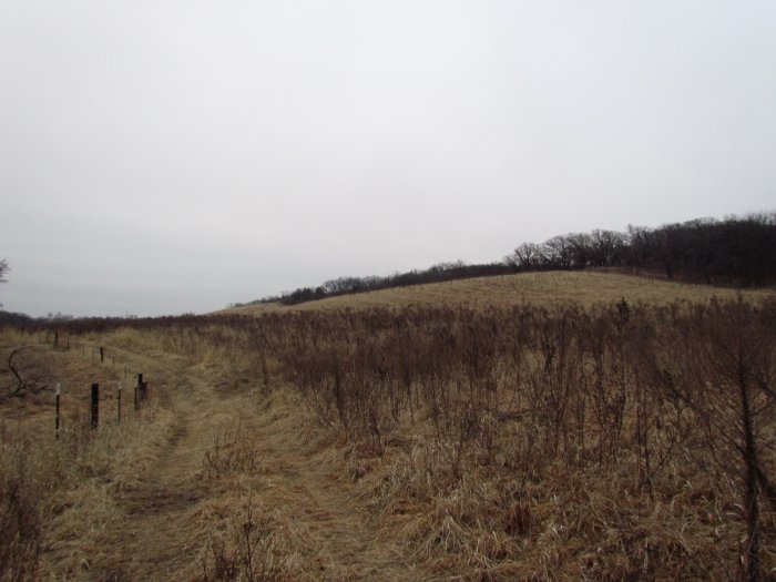
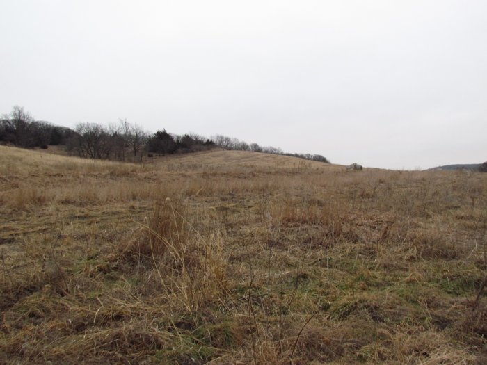
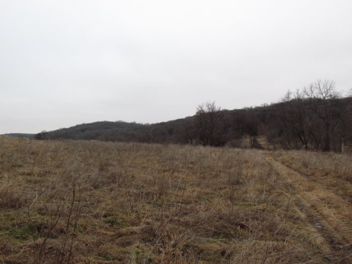
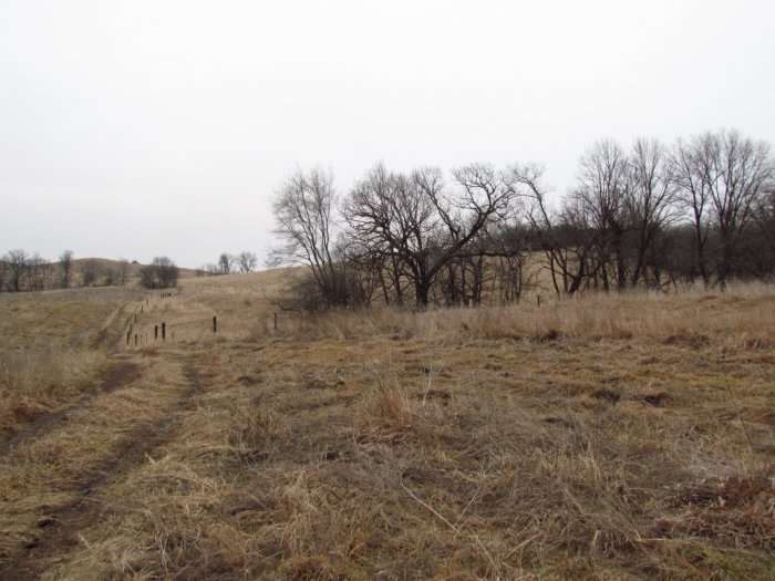
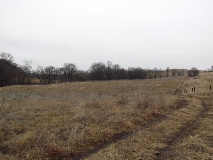
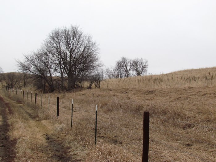
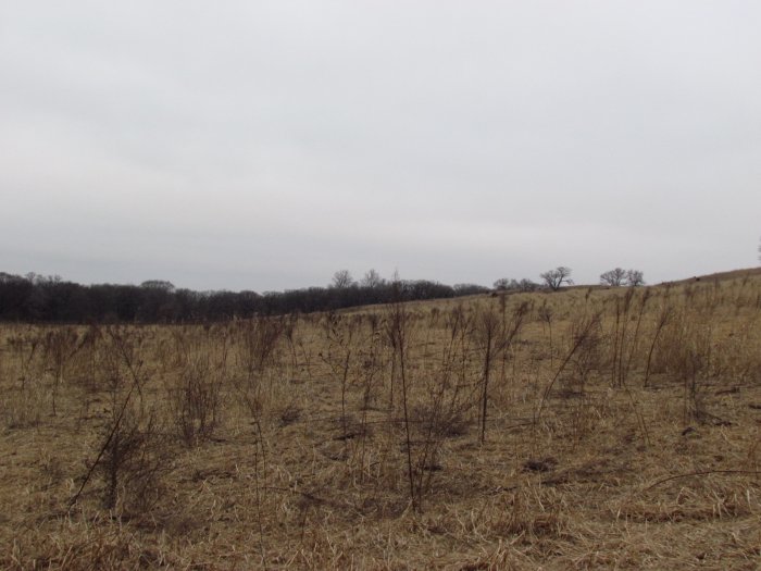
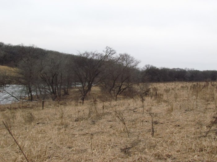
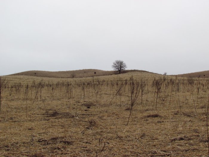
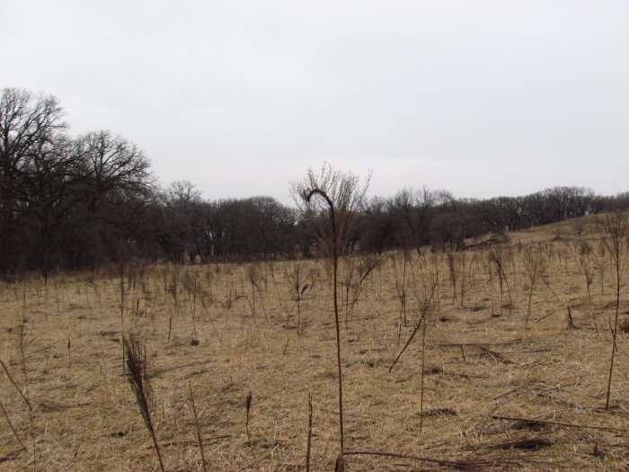
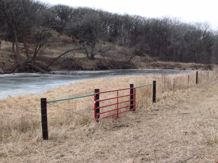
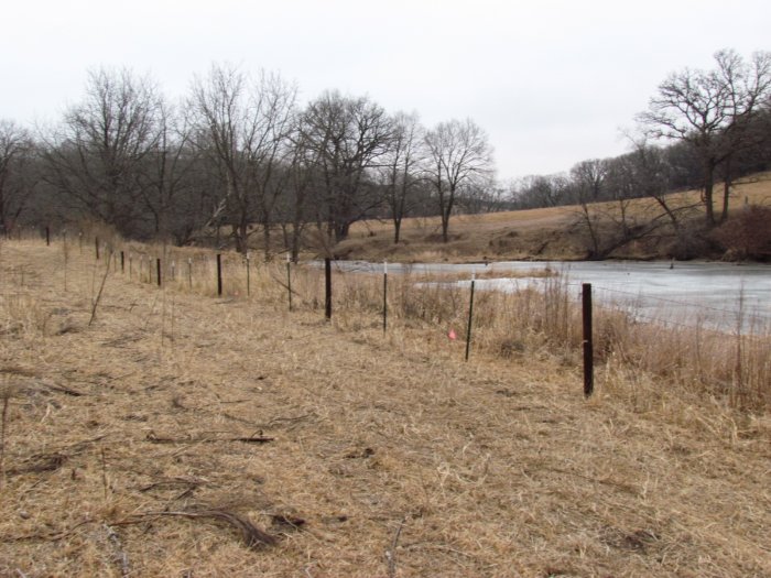
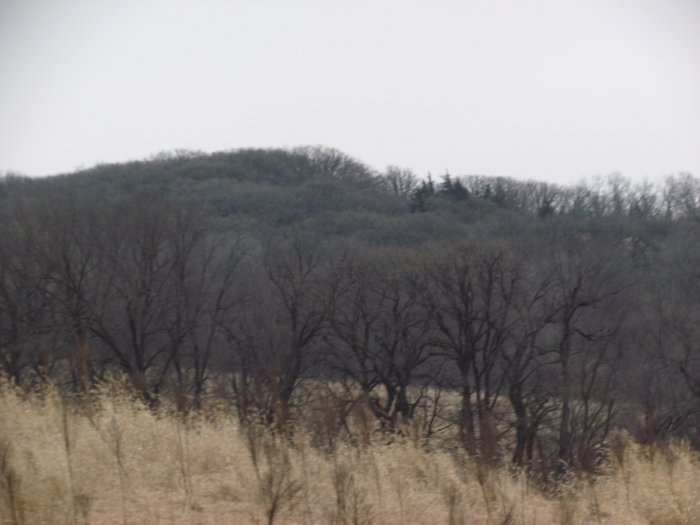
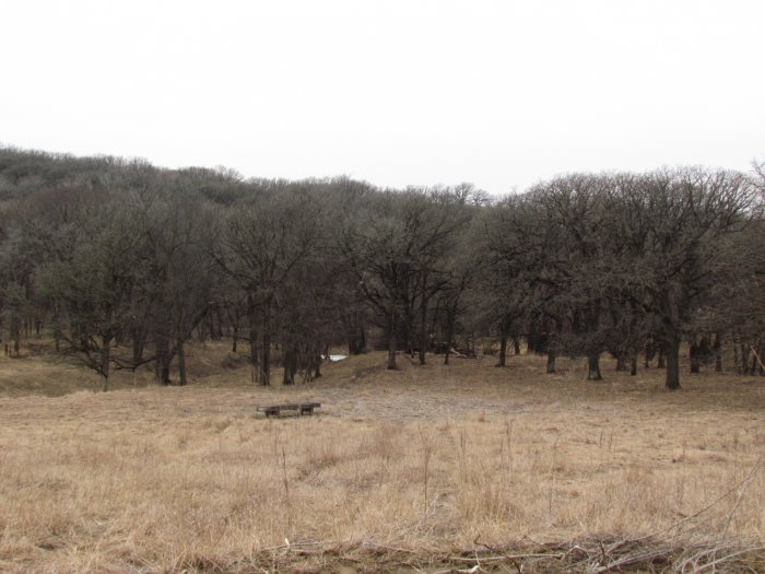
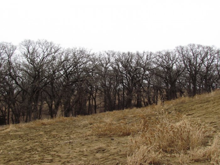
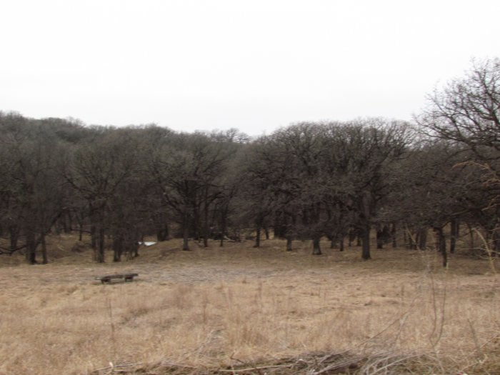
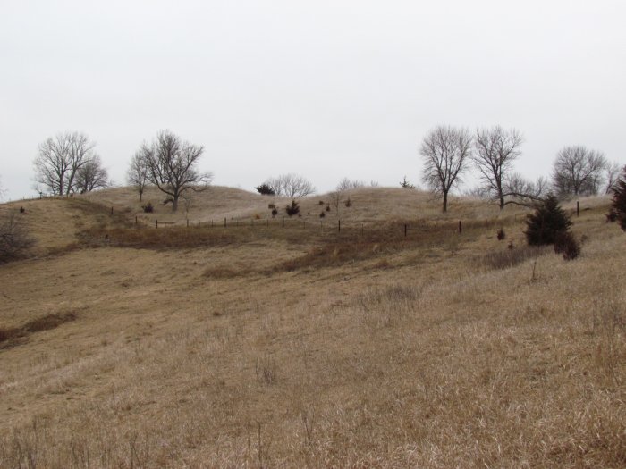
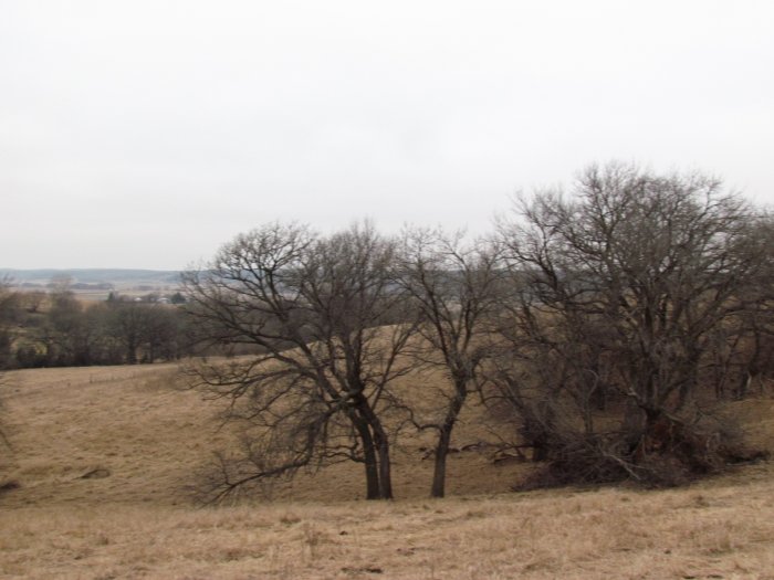
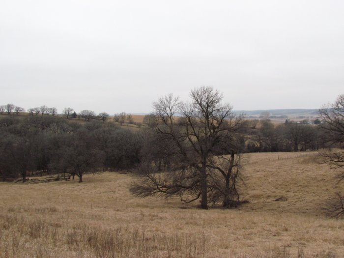
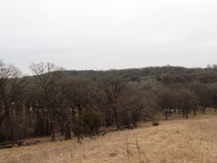
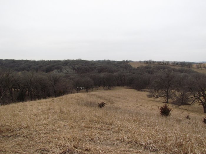
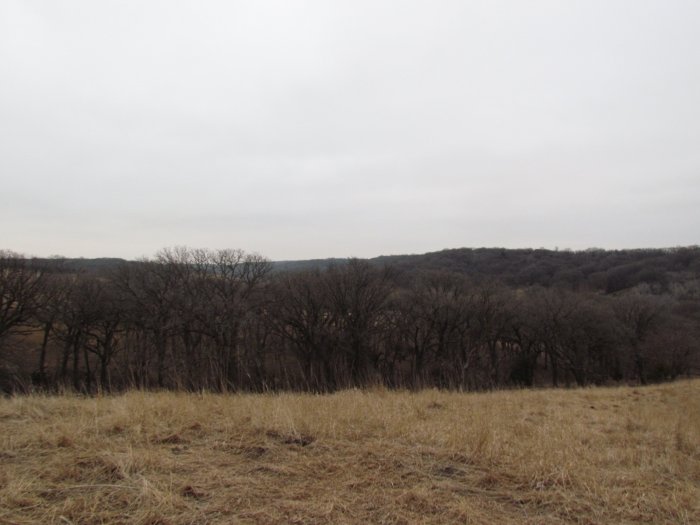
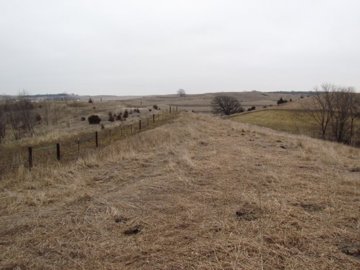
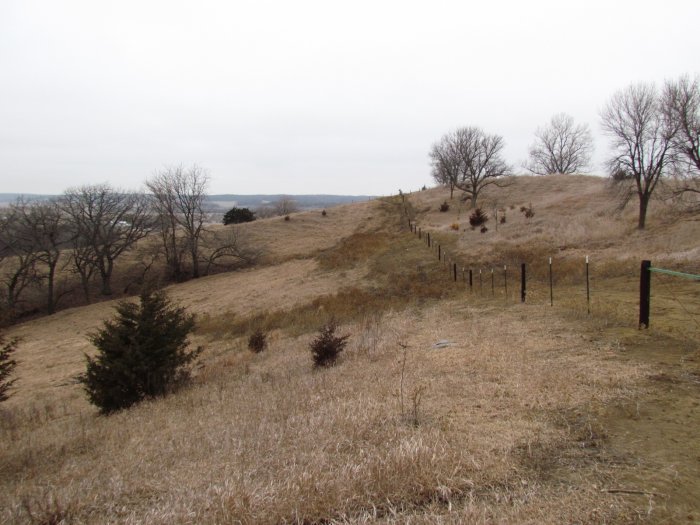
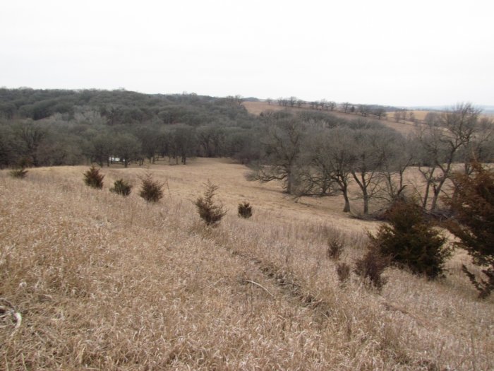
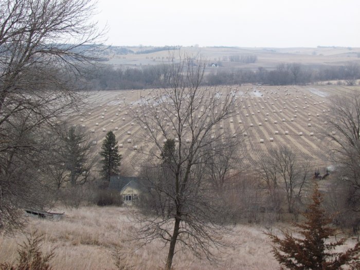
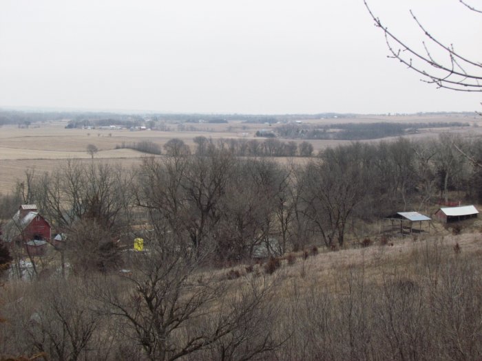
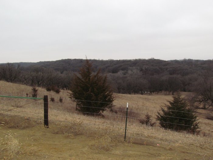
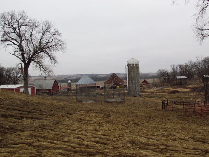
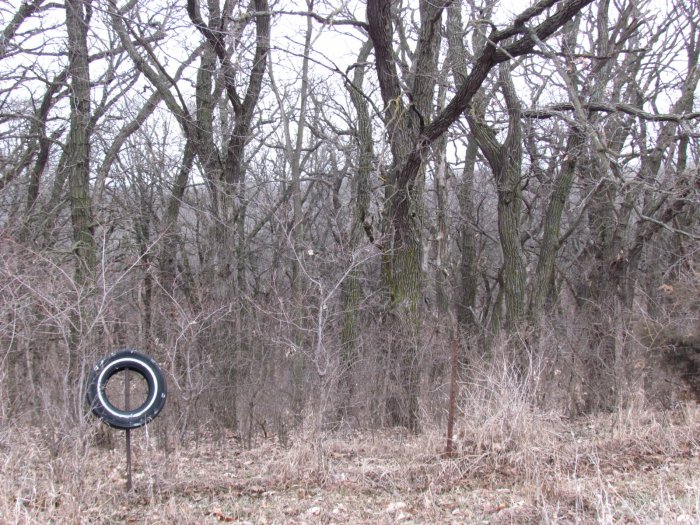
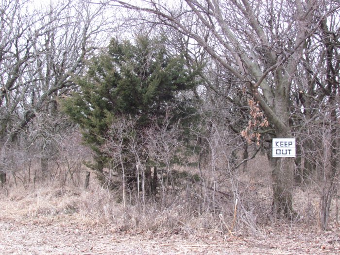
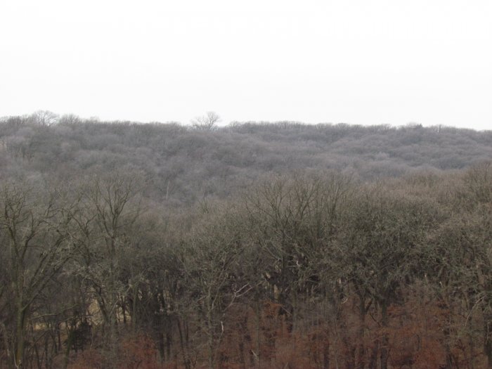
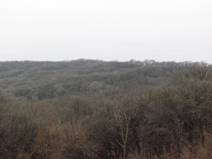
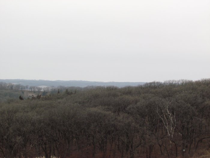
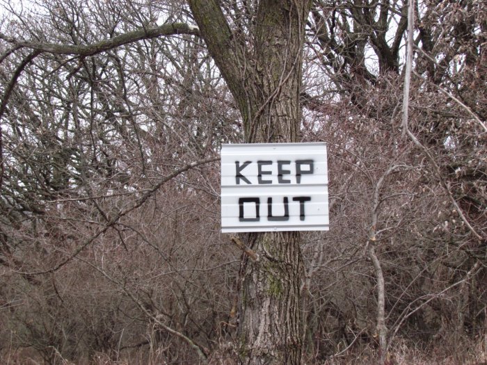
Photo Gallery 


Auction Description
FARMLAND AUCTION
446.83 Acres m/l in 2 Parcels, Center Township, Monona
County, IA
Date: Sat., March 11, 2017
Time: 10:00 a.m.
Auction Site:
Mapleton Community Center
Address:
511 Main Street
Mapleton, IA. 51034
Property Information
Location
Tract One: From Jct. Hwy 175/Main St. – Mapleton, Iowa – take Hwy 175 SW driving 5.4 miles, turn left onto 165th St. and drive 1.4 miles. This location places you on the road property is located to the north.
Tract Two: From Jct. Hwy 175/Pine St. – Castana, Iowa – take Hwy 175 NE driving 3.4 miles, turn right onto 165th St. and drive 1.4 miles. This location places you on the road where property is located to the south.
Legal Description – Abstracts to Govern
TRACT ONE:
The Southwest Quarter of the Northwest Quarter (SW¼ NW¼) and the Northwest Quarter of the Southwest Quarter (NW¼ SW¼) of Section Three (3), Township Eighty-four (84) North, Range Forty-three (43) West of the 5th P.M., Monona County, Iowa.
AND
All that part of the Northwest Quarter of the Northwest Quarter (NW¼ NW¼) of Section Three (3), and all that part of the Northeast Quarter of the Northeast Quarter (NE¼ NE¼) of Section Four (4), all in Township Eighty-four (84) North, Range Forty-three (43) West of the 5th P.M., Monona County, Iowa, lying Southeasterly of the existing (1990) centerline of the Maple River, which centerline is described as beginning at a point on the North line of the NW¼ of Section 3-84-43, which point is North 89º 02’ 20” East 407.40 feet of the Northeast (NE) corner of Section 4-84-43, thence along said centerline South 47º 00’ 55” West 90.50 feet, thence South 34º 22’ 00” West 187.80 feet, thence South 42º 25’ 35” West 126.00 feet, thence South 35º 44’ 05” West 101.00 feet, thence South 44º 41’ 20” West 122.35 feet to the West line of the NW¼ of Section 3-84-43, thence continuing along said centerline South 64º 56’20” West 156.05 feet, thence South 64º 10’ 45” West 68.90 feet, thence South 49º 57’ 20” West 122.80 feet, thence South 52º 24’ 00” West 219.60 feet, thence South 40º 10’ 45” West 39.85 feet to a point on the extension westerly of an existing fence line, and North of said fence bearing South 89º 35’ 45” East.
Tract contains 40.56 acres in the NW¼ NW¼ of Section 3-84-43, and 2.23 acres in the NE¼ NE¼ of Section 4-84-43. Acreage figures include part of the existing (1990) channel of the Maple River.
AND
All that part of the Northwest Quarter of the Northwest Quarter (NW¼ NW¼) of Section Three (3), Township Eighty-four (84) North, Range Forty-three (43) West of the 5th P.M., Monona County, Iowa, described as beginning at the Northwest (NW) corner of Section 3-84-43, thence North 89º 02’ 20” east along the North line of the Northwest Quarter (NW¼) of Section 3-84-43, 407.40 feet to the existing (1990) centerline of the Maple River, thence along said centerline South 47º 00’ 55” West 90.50 feet, thence South 34º22’00” West 187.80 feet, thence South 42º 25’ 35” West 126.00 feet, thence South 35º44’05” West 101.00 feet, thence South 44º 41’ 20” West 122.35 feet to the West line of the Northwest Quarter (NW¼) of Section 3-84-43, thence North 00º 37’ 05” West along said West line 471.90 feet to the Point of Beginning.
Tract contains 2.23 acres more or less.
Note: The North line of the Northwest Quarter (NW1/4) of Section 3-83-43 is assumed to bear North 89° 02’ 20” East
AND
All that part of the Northeast Quarter of the Northeast Quarter (NE¼ NE¼) of Section Four (4), Township Eighty-four (84) North, Range Forty-three (43) West of the 5th P.M., Monona County, Iowa, described as beginning at the Northeast (NE) corner of said Section 4-84-43, thence South 00º 37’ 05” East 471.90 feet along the East line of the Northeast Quarter (NE¼) of said Section 4-84-43 to the existing (1991) center line of the Maple River, thence following said center line 64º 56’ 20” West 156.05 feet, thence South 64º 10’ 45” West 68.90 feet, thence South 49º 57’ 20” West 122.80 feet, thence South 52º 24’00” West 219.60 feet, thence South 40º 10’ 45” West 39.85 feet; thence leaving said center line of existing (1991) Maple River South 89º 35’ 45” West 94 feet, thence South 48º 30’ 55” West 17.30 feet, thence South 56º 06’ 05” West 18.30 feet, thence North 76º 37’ 20” West 102.50 feet, thence North 79º 00’ 10” West 107.80 feet, thence South 87º 15’ 10” West 64.85 feet to an existing (1991) crop line, thence along said crop line North 16º 00’ 40” East 97.85 feet, thence North 28º 09’ 55” East 75.90 feet, thence North 44º 12’ 25” East 62.35 feet, thence North 62º 58’ 05” East 159.25 feet, thence North 57º 53’ 10” East 115.05 feet, thence North 08º 25’ 05” East 103.95 feet, thence North 13º 13’ 40” East 93 feet, thence North 33º 31’ 20” East 119.25 feet, thence North 41º 00’ 55” East 111.15 feet, thence North 15º 04’ 50” East 70.30 feet to the North line of the Northeast Quarter (NE¼) of said Section 4-84-43, thence North 88º 44’ 45” East 345.40 feet along said North line to the point of beginning.
Tract contains 8.98 acres, of which 1.29 acres is in the existing (1991) Maple River.
133.00 taxable acres
TRACT TWO:
The Southwest Quarter of the Southwest Quarter (SW¼ SW¼) and that part of the Southeast Quarter of the Southwest Quarter (SE¼ SW¼) described as: Starting at the Southwest corner of the Southeast Quarter of the Southwest Quarter of Section 3, Twp. 84 N, Range 43 W; thence 926 feet North to center of intake on Masters Watershed Dam; thence in a Southeasterly direction up center of creek to South line of Section 3; thence 603 feet West to starting point; consisting of about 6.4 acres more or less.
All in Section Three (3), Township Eighty-four (84) North, Range Forty-three (43) West of the 5thP.M., Monona County, Iowa.
AND
The Northwest Quarter (NW¼) EXCEPT:
(a) That part lying to the South and West of Sand Creek, comprising about 56.2 Acres more or less.
(b) 5.37 acres more or less in the Northeast Quarter of the Northwest Quarter (NE¼ NW¼) conveyed in Vol. 72, Page 379.
AND
The Southeast Quarter (SE¼); and
All that part of the Northeast Quarter of the Southwest Quarter (NE¼ SW¼) described as: Commencing at the Northeast corner of said Southwest Quarter of said Section 10, running thence South on the Quarter line 63 rods; thence in a northwesterly direction in a straight line to a point 22 rods Southeast of a point on the North Quarter line 37 rods West of the Northeast corner thereof, thence West 14 rods, thence Northwest 22 rods to the Quarter line and 51 rods West of the Northeast corner, thence East 51 rods to the place of beginning;
All in Section Ten (10), Township Eighty-four (84) North, Range Forty-three (43) West of the 5thP.M., Monona County, Iowa.
313.83 taxable acres
Real Estate Tax
Tract One: Annual Tax - $4,598.00 Taxable Acres – 133.00
Tract Two: Annual Tax - $5,296.00 Taxable Acres – 313.83
FSA Data
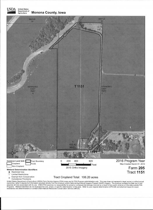
Tract One: Farm Tract 1151, Farm 205 – R-4, Sec 3, Center – T84N-R43W
Farmland Acres: 119.28
Cropland Acres: 106.20
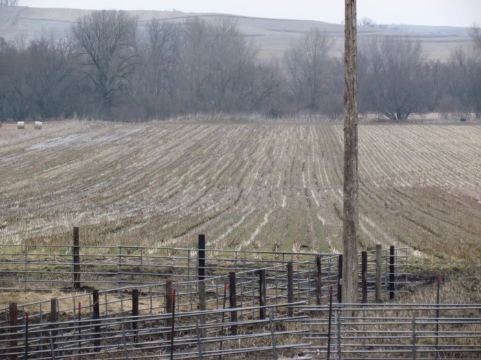
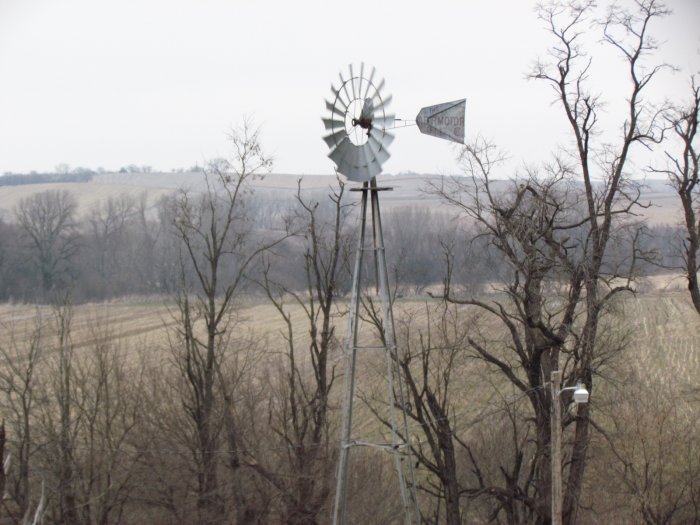
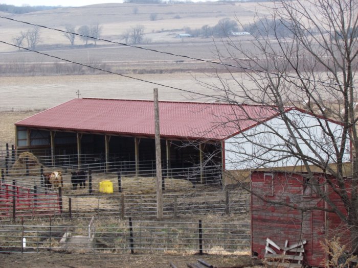
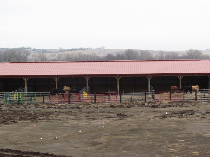
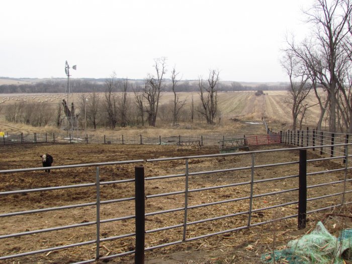
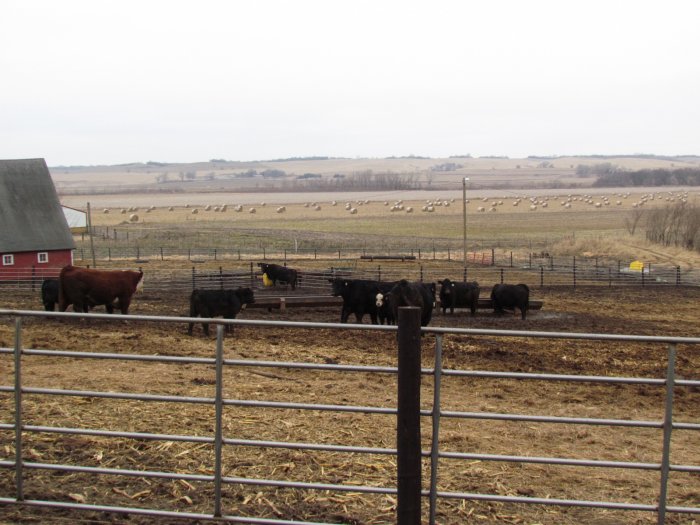
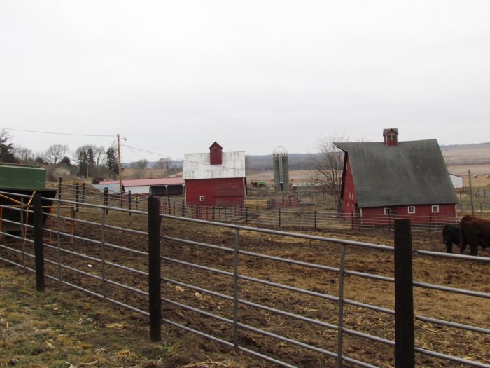
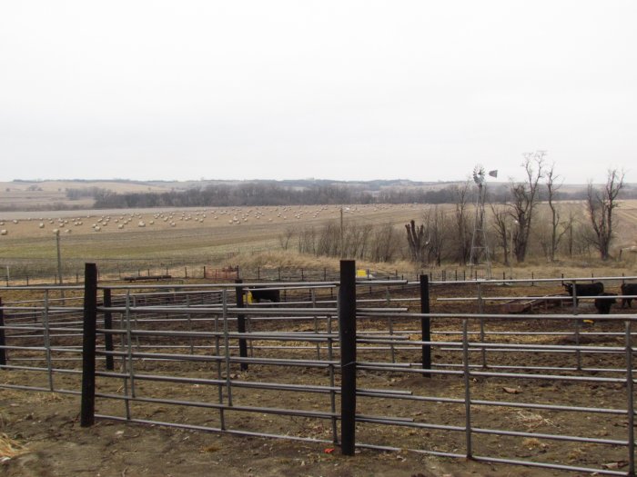
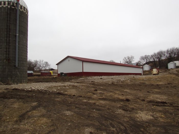
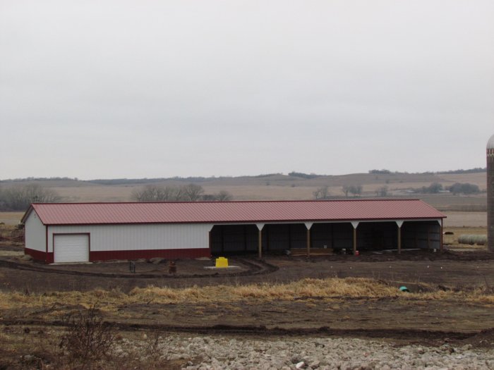
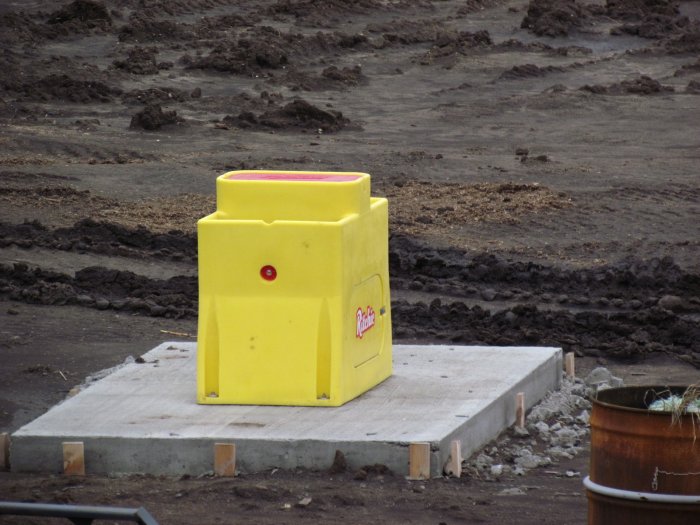
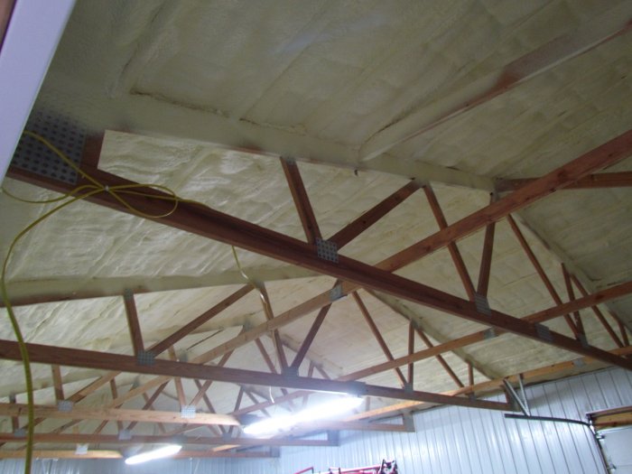
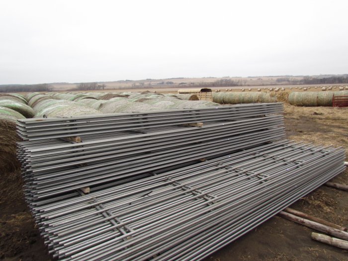
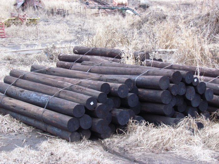
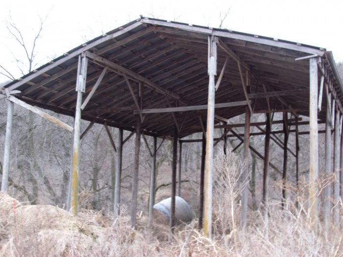
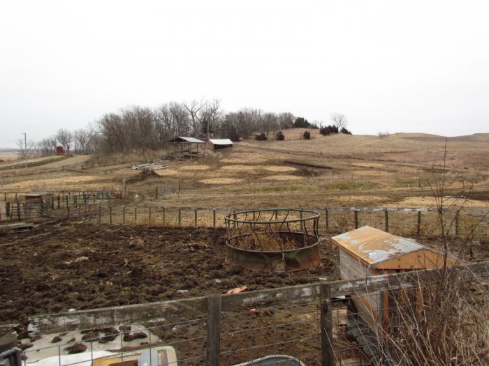
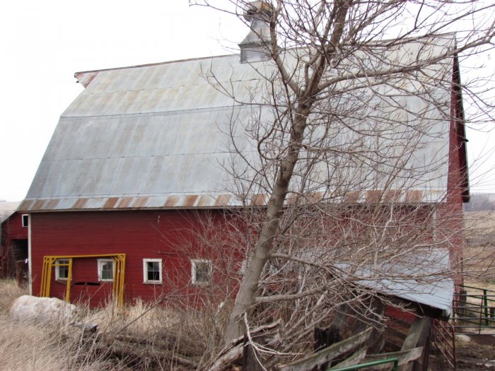
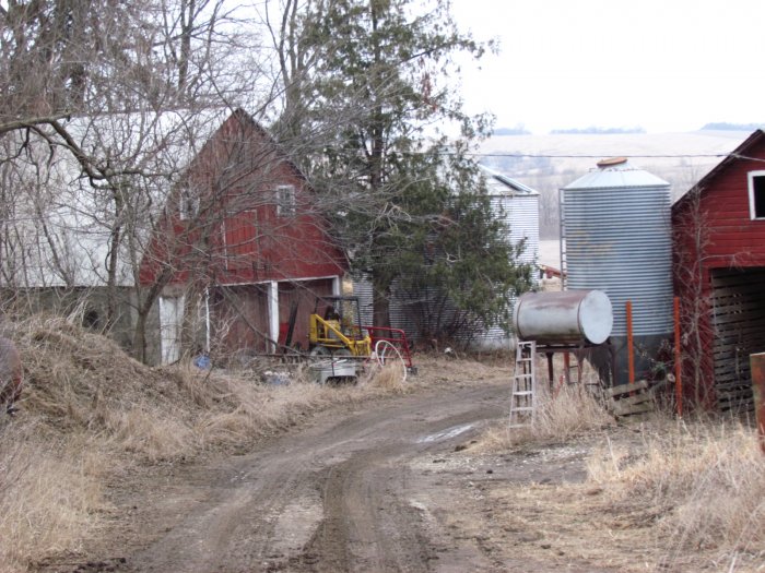
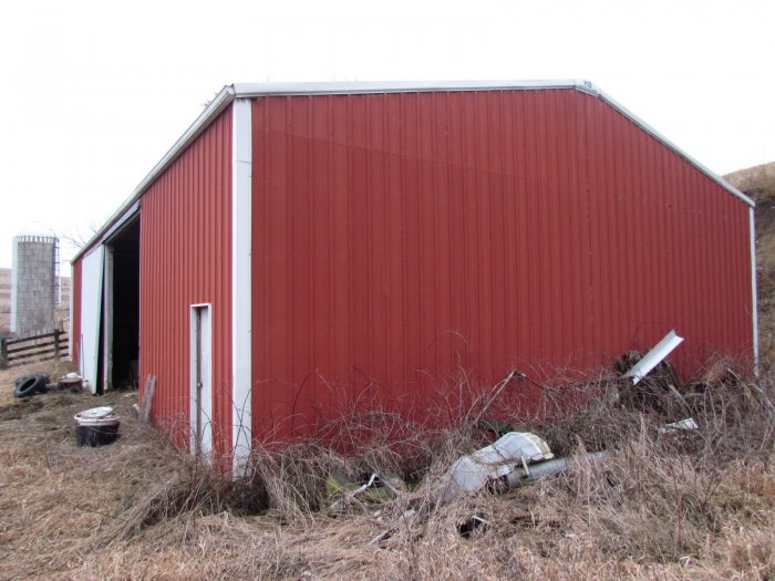
Non Cropland Acres: Approximately 14 acres in and northwest of Maple River area,12.54 acres which includes improvements of the following: 2016 Morton 33 x 105 ft. open shed and a 2016 Morton 30 x 128 ft. building of which 50 ft. has concrete floor and enclosed finished and insulated; remaining area is open front, cattle yards of new construction with 5 new livestock waters, barn, corn crib building, plus many new pipe fencing panels and new creosoted posts for continuing building of pens.
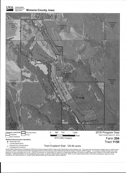
Tract Two: Farm Tract 1150, Farm 204 – R-4, Sec 3 & R-5 Sec 10, Center – T84N-R43W
Farmland Acres: 319.72
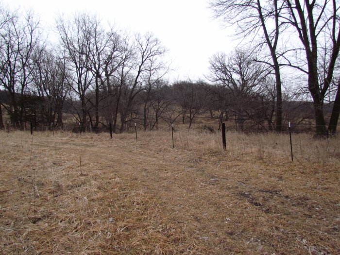
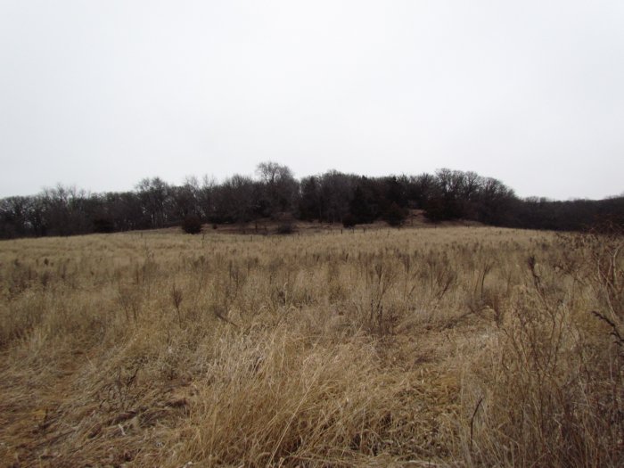
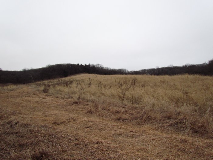
Cropland Acres: 120.84
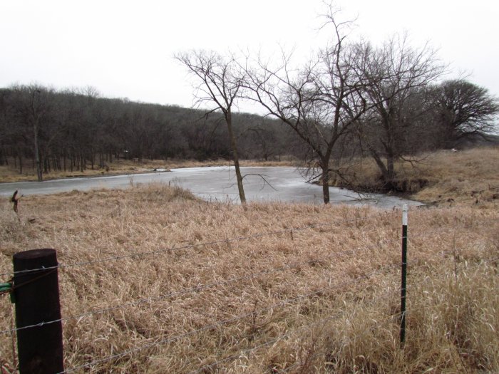
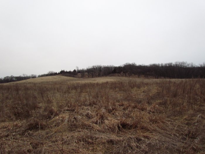
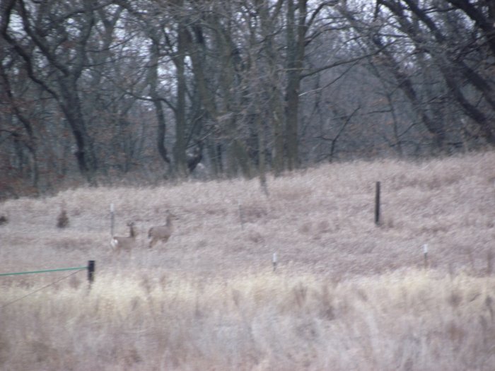
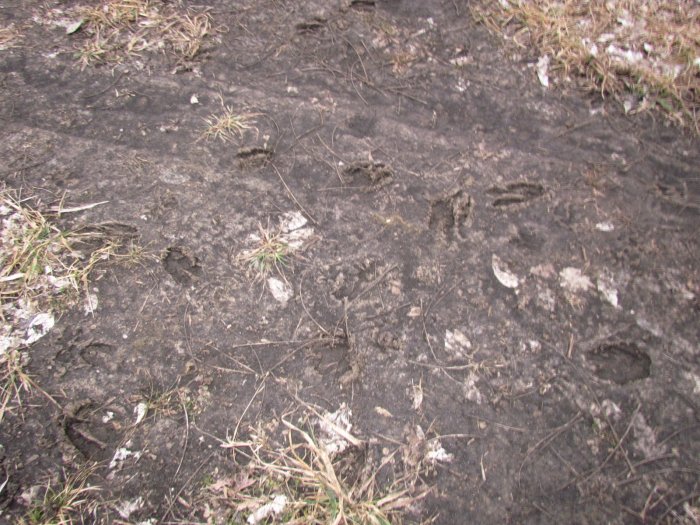
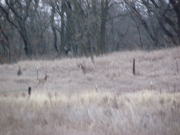
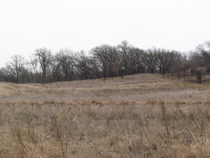
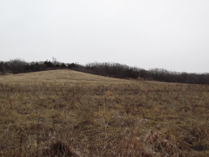
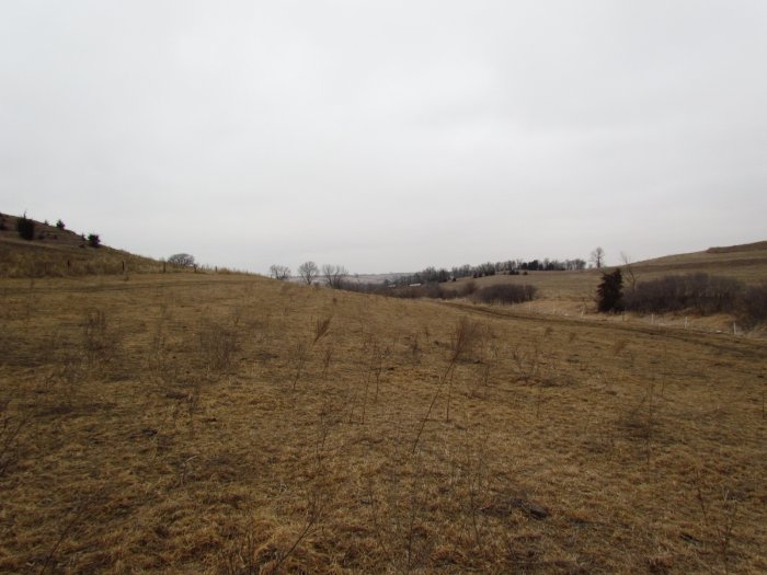
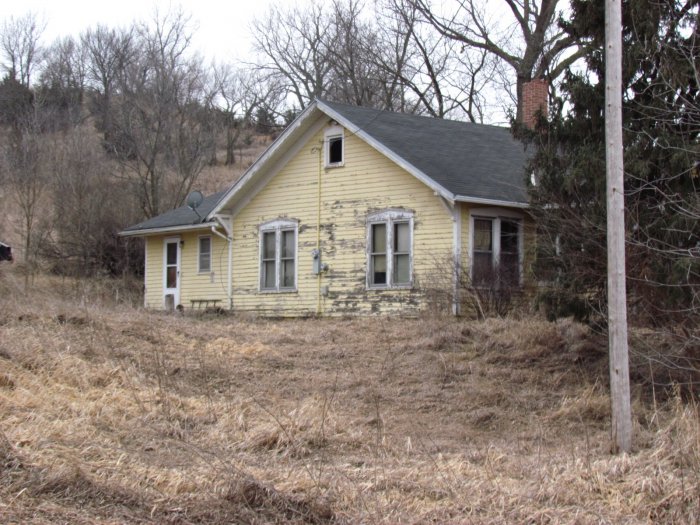
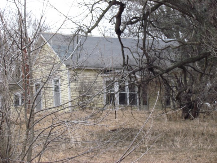
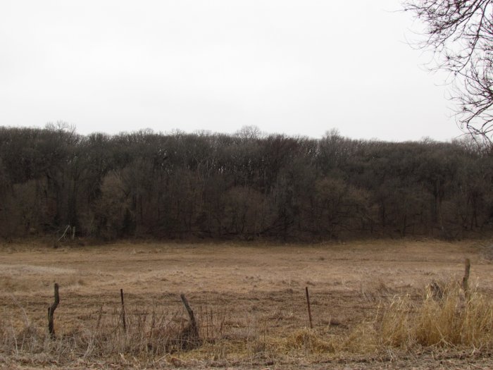
The open land has cover of brome/alfalfa for pasture and 3 miles of new fencing recently built, there are 1 ½ water ponds, and the remaining acres are in native timber with hundreds of acres of neighboring timber which makes for outstanding White Tail Deer/ Big Buck Hunting. The building structures, machinery shed, barn, other misc. buildings, corals, and homes are as is. A transfer by a fiduciary in the course of the administration of a trust is exempt from septic inspection. “There is reason to believe that the septic systems do not conform to current standards adopted by the Department of Natural Resources.”
Soil Types/Productivity of Cropland
Tract One: Primarily Kennebec silt loam and Napier silt loam. See soil map for detail.
• CSR2: 86.8 per 2017 AgriData, Inc.
• CSR: 79.2 per 2017 AgriData, Inc.
Soil Types/Productivity of Total Parcel
Tract Two: Primarily Napier silt loam and Ida silt loam. See soil map for detail.
• CSR2: 41.3 per 2017 AgriData, Inc.
• CSR: 35.2 per 2017 AgriData, Inc.
Auction Information
Method of Sale
• Property will be offered as two individual Tracts.
• Bids will be $/acre using a multiplier of 133.00 Acres for Tract One and $/acre using a multiplier of 313.83 Acres for Tract Two.
• Sellers reserve the right to refuse any and all bids.
Seller
Donald W. Masters Trust
David R. Fritz – Trustee
Contact: David Fritz by sending a Text Message to Ph. 712-229-5693 if you would like to inspect the property by four wheel drive.
Law Firm – Moore, Heffernan, Moeller, Johnson, & Meis LLP
Attorney: Robert F. Meis Ph. 712-252-0020 email – rmeis@mooreheffernanlaw.com
Agency
McCall Auctions and Real Estate and their representatives are Agents for the Sellers.
Terms
Successful bidders must execute a purchase agreement on the day of sale with a 10% down payment. Successful bidders are purchasing with no financing contingencies and must be prepared for cash settlement of their purchase on or before April 21, 2017 or after any objections to title have been cleared. Final settlement will require certified funds or wire transfer. Full Possession and 2017 Farming Rights to be given Buyers at settlement unless agreed to be earlier in writing. Taxes will be prorated to Date of Closing.
NOTICE: Seller shall have the right to occupy the home on Tract 2 until August 1, 2017 free of rent. Seller shall pay the utilities and routine maintenance expenses for the home until August 1, 2017. Seller has machinery, equipment and personal property on both Tracts 1 and 2 and shall have until August 1, 2017 to remove these items. These items will not interfere with the farming of either tract.
Announcements
Property is being sold on an “AS IS, WHERE IS” basis, and no warranty or representation, either express or implied, concerning the properties is made by the Sellers or the auction company. Each potential bidder is responsible for conducting his or her own independent inspections, investigations, inquiries, and due diligence concerning the properties. The information contained in this advertising is believed to be accurate but is subject to verification by all parties relying on it. No liability for its accuracy, errors or omissions is assumed by the Sellers or the Auction Company. All sketches and dimensions in this brochure are approximate. All acreages are approximate and have been estimated based on legal descriptions or aerial photographs. Conduct at the auction and increments of bidding are at the direction and discretion of the auctioneer. The Sellers and Auction Company reserve the right to preclude any person from bidding if there is any question as to the person’s credentials, fitness, etc. All decisions of the Auctioneer and Sellers' at the auction are final.
Contact Russ McCall for further information or detailed brochure Ph: 712-423-1901
For Complete Details, Photos, and Maps Log Onto: archive.mccallauctions.com
Auction Conducted By:
McCall Auctions and Real Estate
905 Iowa Avenue
Onawa, IA
712-423-1901
Russ and Brent McCall, Auctioneers
Loretta McCall and Andrea Meyer, Clerks