LAND AUCTION 465.87 Acres in 6 Parcels m/l, Sherman, Sioux, and Little Sioux Townships, Monona & Harrison County, IA
Friday, February 24, 2017 at 10:00am
413 Main Street
Blencoe, IA 51523
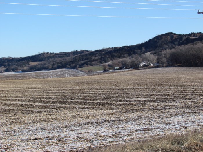
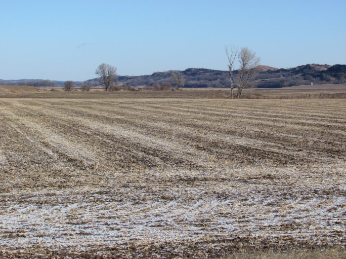
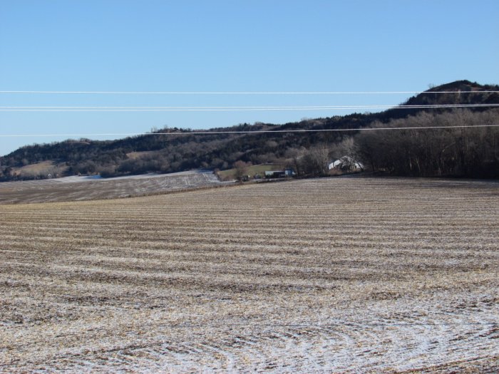
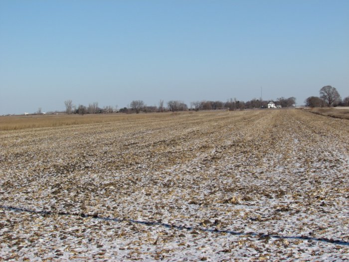
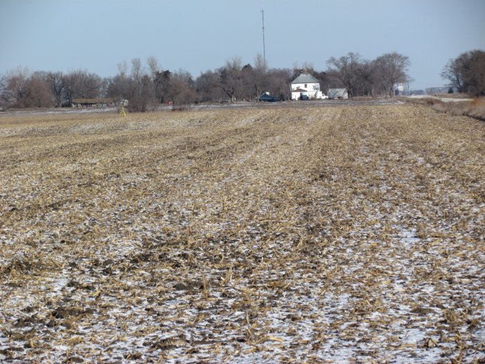
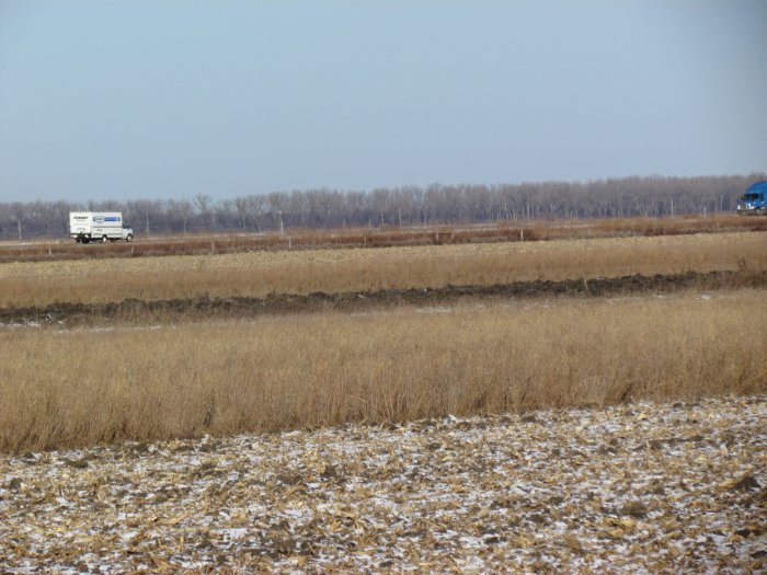
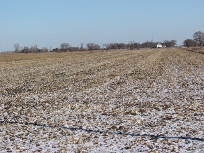
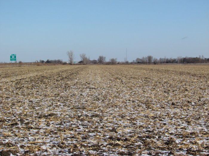
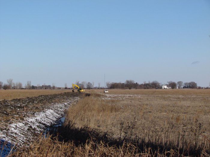
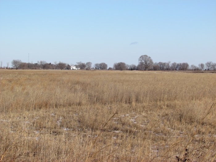
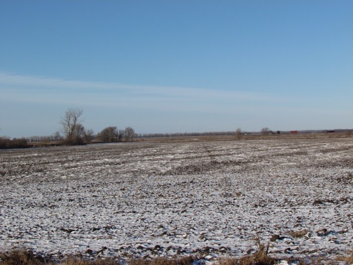
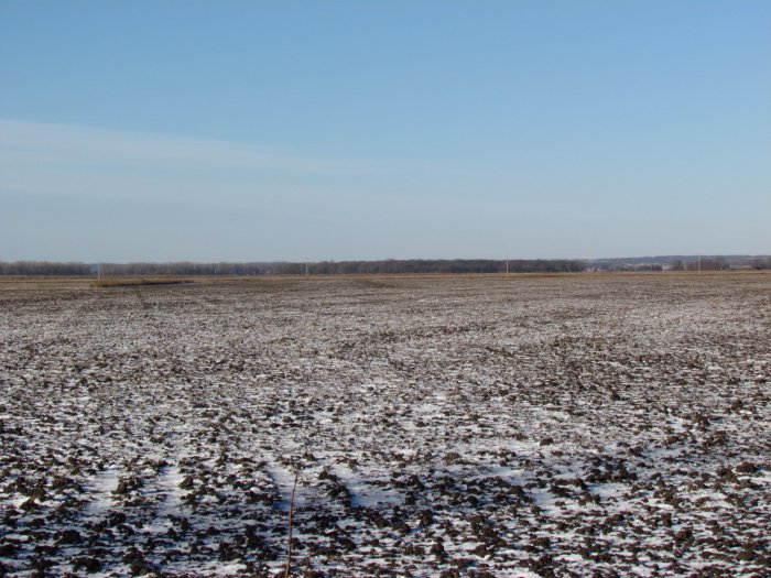
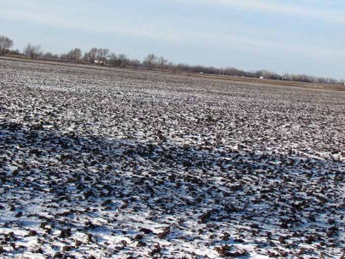
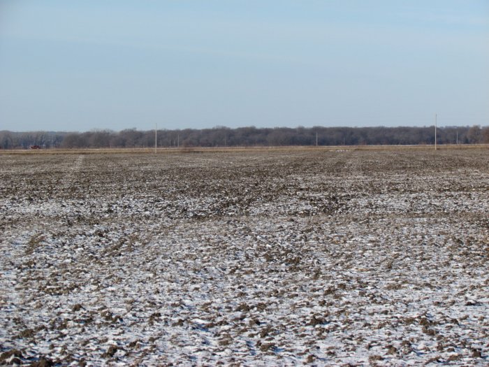
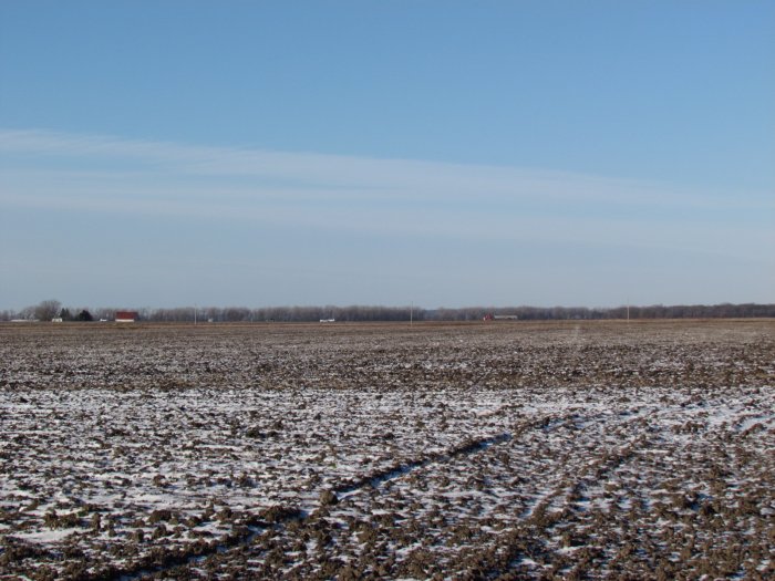
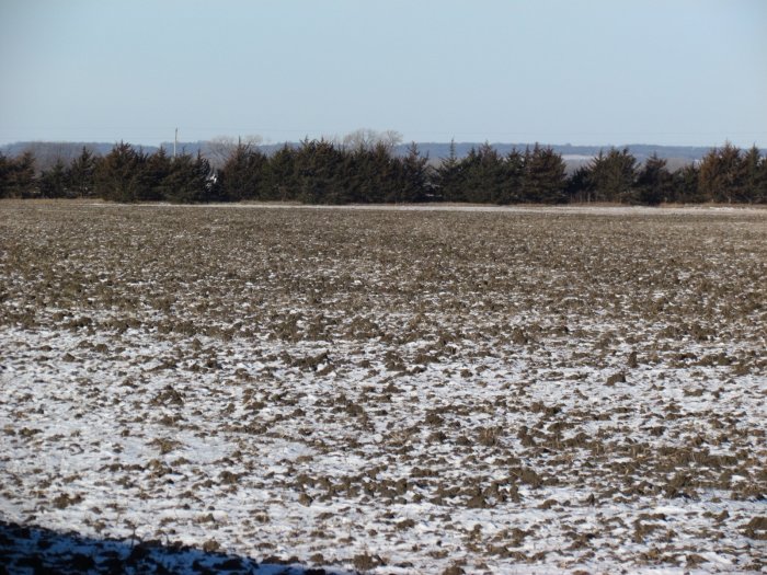
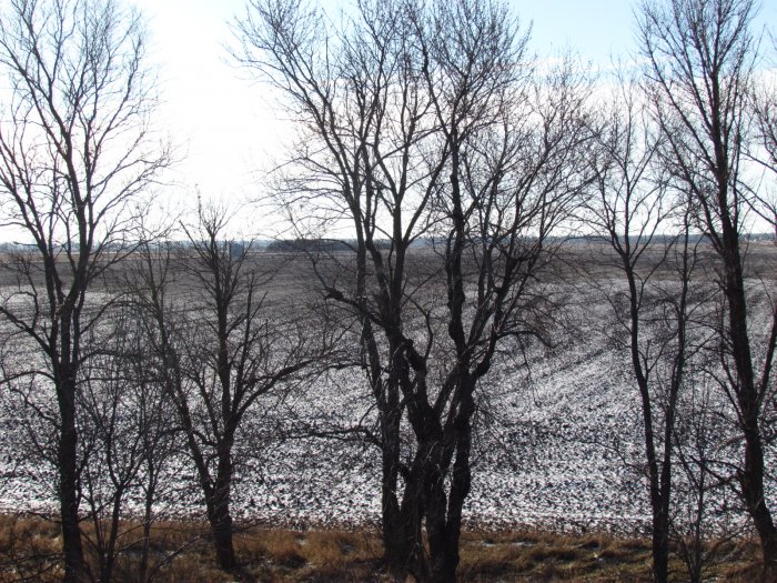
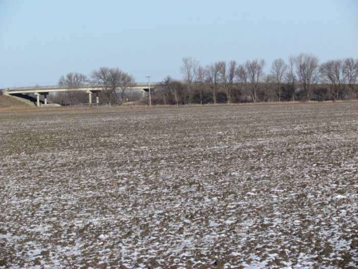
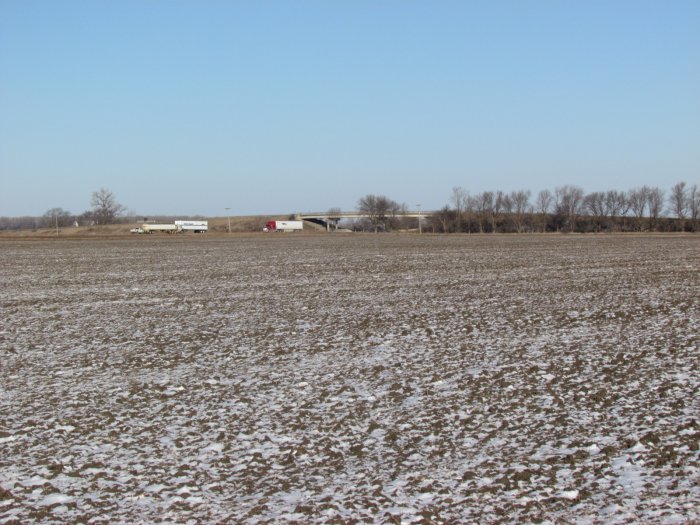
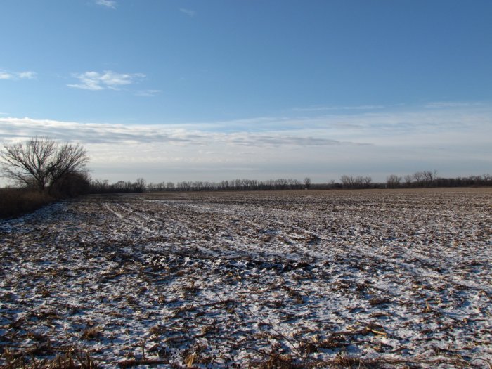
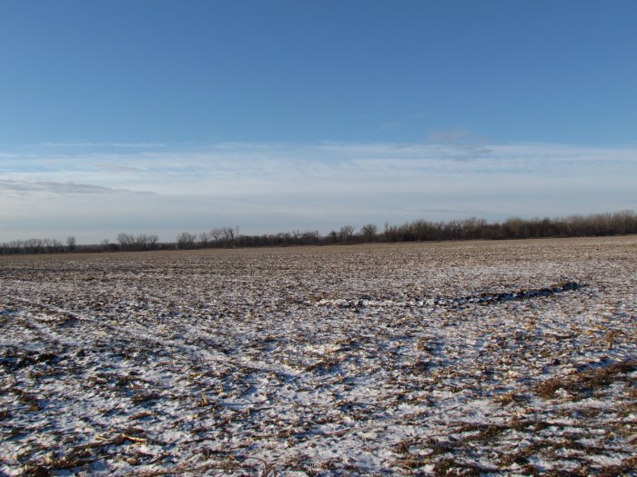
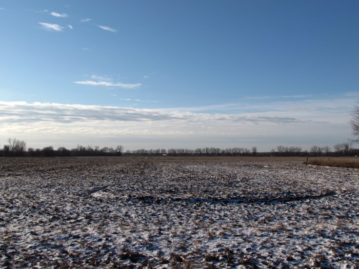
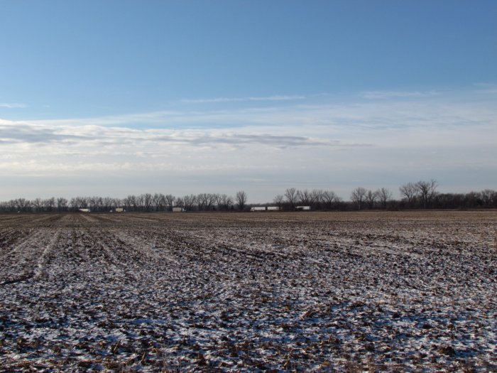
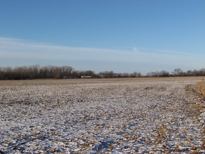
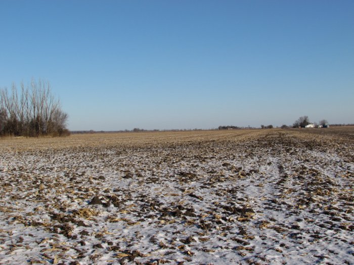
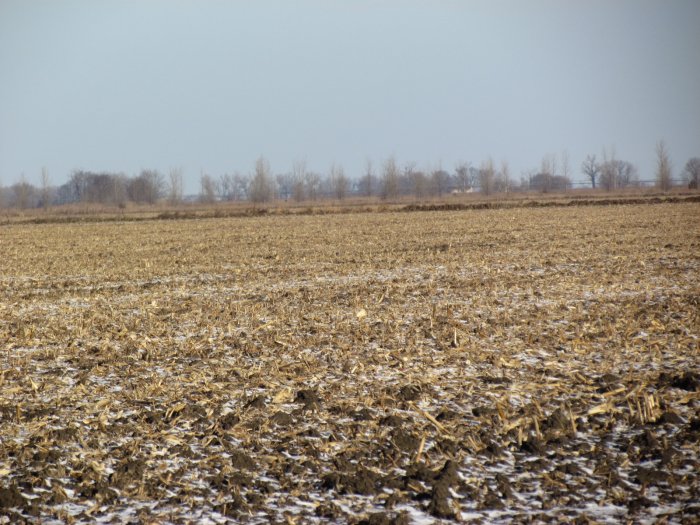
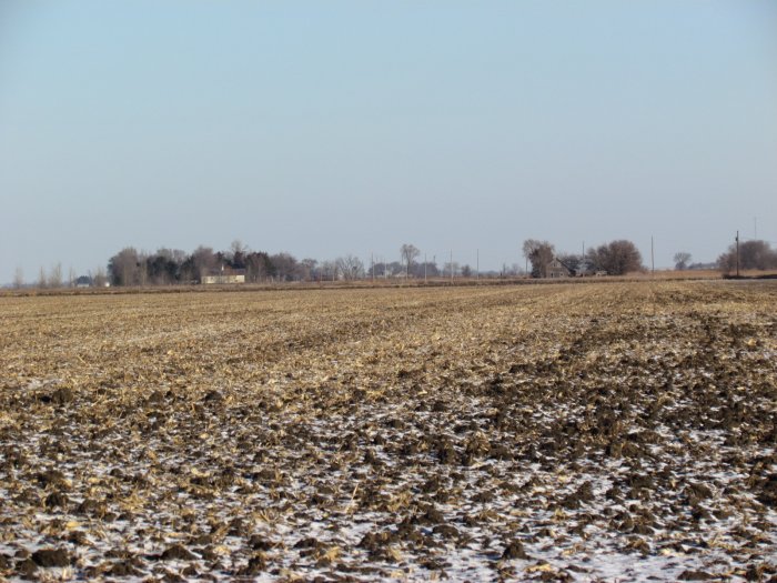
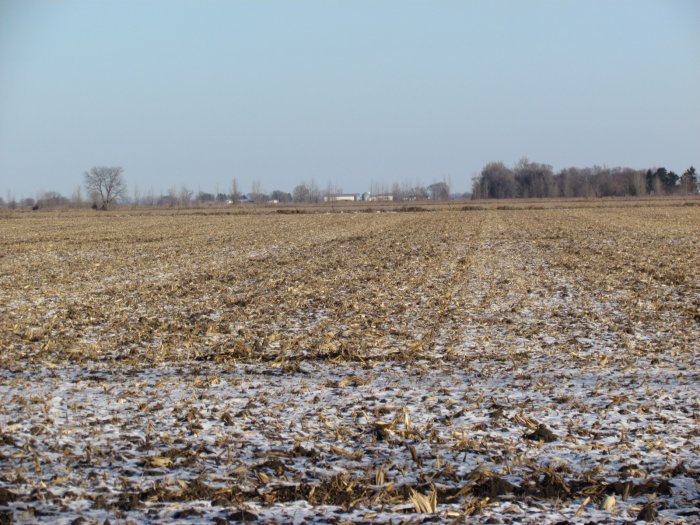
Photo Gallery 


Auction Description
LAND AUCTION
465.87 Acres in 6 Parcels
m/l, Sherman, Sioux, and Little Sioux Townships, Monona & Harrison
County, IA
Date: Fri., Feb. 24, 2017
Time: 10:00 a.m.
Auction Site:
Blencoe Community Center
Address:
413 Main St.
Blencoe, IA. 51523
Property Information
Location
Tract One: From CR-K45 Blencoe drive east 7.8 miles via Main Street/CR-E60. This location places you on the south side of the property.
Tract Two: From CR-K45 Blencoe drive south 1.5 miles, turn right on 310th Street and drive 0.5 miles. This location places you exactly at the SE corner of the property which lies across the road.
Tract Three: From CR-K45 Blencoe drive south 4.2 miles. This location places you on the east side of the property.
Tract Four: From CR-K45 Blencoe drive south 3.0 miles, turn right on 325th Street and drive 0.5 miles. Turn left on Hemlock Ave. and drive 0.2 miles. This location places you on the east side of the property.
Tract Five: From CR-K45 Blencoe drive south 6.4 miles, turn right on Ashton Pl. and drive 0.3 miles. This location places you exactly at the NE corner of the property.
Tract Six: From CR-K45 Blencoe drive south 5.1 miles, turn right on 106th Trl. and drive 1 miles. This location places you at the SE corner with property to the north.
Legal Description
Monona County
Tract One:
The South Half of the Northeast Quarter (S½ NE¼) of Section Twenty-one (21), Township Eighty-two (82) North, Range Forty-four (44) West of the 5th P.M., Monona County, Iowa EXCEPT: (A) That part described in Plat recorded in Book 8, Page 58 of Monona County Recorder’s records. (B) That part described in Plat recorded in Book 8, Page 59 of Monona County Recorder’s records.
Tract Two:
The East Half of the Southeast Quarter (E½ SE¼) of Section Seventeen (17), Township Eighty-two (82) North, Range Forty-five (45) West of the 5th P.M., Monona County, Iowa, except that part thereof condemned by condemnation proceedings recorded in Land Deed Book 78, Page 22.
Tract Three:
The North Half of the Southwest Quarter (N½ SW¼) of Section Thirty-three (33), Township Eighty-two (82) North, Range Forty-five (45) West of the 5th P.M., Monona County, Iowa, EXCEPT: (A) 1.18 acres described in Plat Book 11, Page 4. (B) 1.57 acres described in Plat Book 11, Page 5. The Southeast Quarter of the Southwest Quarter (SE¼ SW¼) of Section Thirty-three (33), Township Eighty-two (82) North, Range Forty-five (45) West of the 5th P.M., Monona County, Iowa, except the South 35 feet thereof. * This Tract is subject to an Option to Purchase.
Tract Four:
The East Half of the Southeast Quarter (E½ SE¼) of Section Twenty-nine (29), Township Eighty-two (82) North, Range Forty-five (45) West of the 5th P.M., Monona County, Iowa, except 9 acres deeded to the State of Iowa, recorded in Book 78, Page 96 of Land Deeds and except all that part of the Northeast Quarter of the Southeast Quarter (NE¼ SE¼) of Section Twenty-nine (29), Township Eighty-two (82), Range Forty-five (45) West of the 5th P.M., Monona County, Iowa described as beginning at the East Quarter (E¼) corner of said Sec. 29-82-45, thence South 863.0 feet along the East line of the Southeast Quarter (SE¼) of said Sec. 29-82-45, thence North 88º 56’ 50” West 410.0 feet parallel with the North line of the Southeast Quarter (SE¼) of said Sec. 29-82-45 thence North 826.42 feet parallel with the East line of the Southeast Quarter (SE¼) of said Sec. 29-82-45, thence North 85º 40’ 15” East 37.48 feet along State of Iowa Right of Way line, thence North 01º 03’ 10” East 33.0 feet along common right of way line between State of Iowa and Monona County to North line of the Southeast Quarter (SE¼) of said Sec. 29-82-45, thence South 88º 56’ 50” East along said North line of the Southeast Quarter (SE¼) Sec. 29-82-45 372.0 feet to the point of beginning. Tract contains 8.09 acres more or less including public roads, and 7.18 acres, more or less, excluding public road.
Harrison County
Tract Five:
The North Half of the Southeast Quarter (N1/2 SE1/4); the Southeast of the Southeast Quarter (SE1/4 SE1/4); and part of the Southwest Quarter of the Southeast Quarter (SW1/4 SE1/4) of Section Nine (9), Township Eighty-one (81) North, Range Forty-five (45) West of the 5th P.M., Harrison County, Iowa, being all of the land lying East of the right of way line of U.S. Highway No. 29 as it crosses the SW1/4 SE1/4 of said Section 9, Township 81 North, Range 45 West of the 5 P.M. except tract described in Book 540 Page 2514, Harrison County Records on June 7, 1988, all in Harrison County, Iowa.
Tract Six:
The East one-half of the Northwest Quarter (E1/2 NW1/4) of Section Five (5), Township Eighty-one (81) North, Range Forty-five (45) West of the 5th P.M., Harrison County, Iowa lying North and East of the centerline of the County Road, EXCEPT two (2) tracts described as follows:1. Beginning at the North Quarter corner of said section thence South 02°47’00” West along the Longitudinal Half section line 2941.2 feet to the center of said section, thence North 88°31’00” West along the latitudinal half section line 113.9 feet, thence North 02°46’20” East 2941.2 feet to the North line of said Section, thence South 88°30’00” East 114.3 feet to the point of beginning. 2. Commencing at the center of said section, thence North 88°31’00” West along the latitudinal half section line 113.9 feet, thence North 02°46’20” East 23.2 feet to the centerline of the county road, thence North 50°40’10” West along the centerline of the said road 383.9 feet to the point of beginning, thence continuing North 50°40’10” West along centerline of the said road 616.4 feet, thence North 41°19’50” East 196.3 feet, thence South 77°09’40” East 378.8 feet, thence South 02°46’20” West 454.6 feet to the point of beginning. Tract contains 62.97 acres, more or less, including Public Road and 61.83 acres, more or less, exclusive of Public Road. Note: The bearings are true bearings based on true North at U.S. Army Corps of Engineer Triangulation No. 381, value of one-half (1/2) interest.
Real Estate Tax
Tract One: Annual Tax - $1,428.00 Drainage - $91.00, Taxable Acres – 43.1
Tract Two: Annual Tax - $2,058.00 Drainage - $173.00, Taxable Acres – 68.78
Tract Three: Annual Tax - $3,754.00 Drainage - $170.00, Taxable Acres – 113.15
Tract Four: Annual Tax - $2,020.00 Drainage - $38.00, Taxable Acres – 61.74
Tract Five: Annual Tax - $4,462.00, Taxable Acres – 114.6
Tract Six: Annual Tax - $2,908.00, Taxable Acres – 64.5
FSA Data
Tract One: Farm Tract 7894
Farmland Acres: 42.90
Crop Acres: 42.90
Corn Base: 21.40 Ac.
Corn PLC Yield: 134 Bu.
Bean Base: 21.50 Ac.
Bean PLC Yield: 44 Bu.
Tract Two: Farm Tract 2096
Farmland Acres: 69.99
Crop Acres: 69.99 Ac.
Corn Base: 34.70 Ac.
Corn PLC Yield: 134 Bu.
Bean Base: 0.98 Ac.
Bean PLC Yield: 36 Bu.
CCC-505 CRP Reduction Acres: 34.31 Ac. at $11,069 Annually with rental rate of $322.61 per acre – Started 12-1-2014 goes till 9-30-2025. Buyer to Succeed to the Contract.
Tract Three: Farm Tract 2098
Farmland Acres: 116.94
Crop Acres: 112.64
Corn Base: 55.50 Ac.
Corn PLC Yield: 134 Bu.
Bean Base: 57.14 Ac.
Bean PLC Yield: 36 Bu.
Tract Four: Farm Tract 2097
Farmland Acres: 60.90
Crop Acres: 59.80
Corn Base: 30.70 Ac.
Corn PLC Yield: 134 Bu.
Bean Base: 29.10 Ac.
Bean PLC Yield: 36 Bu.
Tract Five: Farm Tract 7457
Farmland Acres: 117.46
Crop Acres: 114.92
Corn Base: 58.20 Ac.
Corn PLC Yield: 134
Bean Base: 56.72 Ac.
Bean PLC Yield: 36 Bu.
Tract Six: Farm Tract 2095
Farmland Acres: 63.80
Crop Acres: 62.34
Corn Base: 31.80 Ac.
Corn PLC Yield: 134 Bu.
Bean Base: 30.54 Ac.
Bean PLC Yield: 36 Bu.
Soil Types/Productivity
Tract One: Primarily McPaul silt loam and Napier silt loam. See soil map for detail.
• CSR2: 77.5 per 2016 AgriData, Inc.
• CSR: 67 per 2016 AgriData, Inc.
Tract Two: Primarily Albaton silty clay and Lossing silty clay. See soil map for detail.
• CSR2: 58.4 per 2016 AgriData, Inc.
• CSR: 55.9 per 2016 AgriData, Inc.
Tract Three: Primarily Onawa silty clay and Lossing silty clay. See soil map for detail.
• CSR2: 79.7 per 2016 AgriData, Inc.
• CSR: 63.6 per 2016 AgriData, Inc.
Tract Four: Primarily Onawa silty clay and Albaton silty clay. See soil map for detail.
• CSR2: 72.9 per 2016 AgriData, Inc.
• CSR: 61.9 per 2016 AgriData, Inc.
Tract Five: Primarily Onawa silty clay and Albaton silty clay and Haynie silt loam. See soil map for detail.
• CSR2: 66.2 per 2016 AgriData, Inc.
• CSR: 61.5 per 2016 AgriData, Inc.
Tract Six: Primarily Onawa silty clay and Blake silty clay loam. See soil map for detail.
• CSR2: 84 per 2016 AgriData, Inc.
• CSR: 69.3 per 2016 AgriData, Inc.
Land description
Level Bottom Land, and Fall Tillage has been done
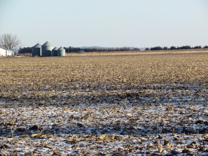
Buildings/Improvements
None
Auction Information
Method of Sale
• Property will be offered as six individual Tracts.
• Bids will be $/acre using a multiplier of 43.1 for Tract One, $/acre using a multiplier of 68.78 for Tract Two, $/acre using a multiplier of 113.15 for Tract Three * This Tract is subject to an Option to Purchase, $/acre using a multiplier of 61.74 for Tract Four, $/acre using a multiplier of 114.6 for Tract Five, and $/acre using a multiplier of 64.5 for Tract Six.
• Sellers reserve the right to refuse any and all bids for any unforeseen reasons, but their intent is to SELL.
Sellers
Leo W. Marley Trust and Rosemarie E. Marley Trust
Douglas Zima and John Hubert – Trustees
Attorney
Michael Paul Jensen Ph. 712-423-1652
Agency
McCall Auctions and Real Estate and their representatives are Agents for the Sellers.
Terms
10% down payment required the day of the sale. Successful bidders are purchasing with no financing contingencies and must be prepared for cash settlement of their purchase on or before April 5, 2017 or after any objections to title have been cleared. Final settlement will require certified funds or wire transfer. Full Possession and 2017 Farming Rights to be given Buyer at settlement. Taxes will be prorated to Date of Closing.
Announcements
Property is being sold on an “AS IS, WHERE IS” basis, and no warranty or representation, either express or implied, concerning the properties is made by the Sellers or the auction company. Each potential bidder is responsible for conducting his or her own independent inspections, investigations, inquiries, and due diligence concerning the properties. The information contained in this advertising is believed to be accurate but is subject to verification by all parties relying on it. No liability for its accuracy, errors or omissions is assumed by the Sellers or the Auction Company. All sketches and dimensions in this brochure are approximate. All acreages are approximate and have been estimated based on legal descriptions or aerial photographs. Conduct at the auction and increments of bidding are at the direction and discretion of the auctioneer. The Sellers and Auction Company reserve the right to preclude any person from bidding if there is any question as to the person’s credentials, fitness, etc. All decisions of the Auctioneer and Sellers' at the auction are final.
Contact Russ McCall for further information or detailed brochure Ph: 712-423-1901
For Complete Details, Photos, and Maps Log Onto: archive.mccallauctions.com
Auction Conducted By:
McCall Auctions and Real Estate
905 Iowa Avenue
Onawa, IA
712-423-1901
Russ and Brent McCall, Auctioneers
Loretta McCall and Andrea Meyer, Clerks