IRRIGATED FARMLAND AUCTION 383.52 Acres m/l in 2 Parcels, Lincoln and Lake Townships, Monona County, IA
Saturday, January 21, 2017 at 10:00am
605 Whittier Street
Whiting, IA 51063
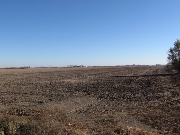
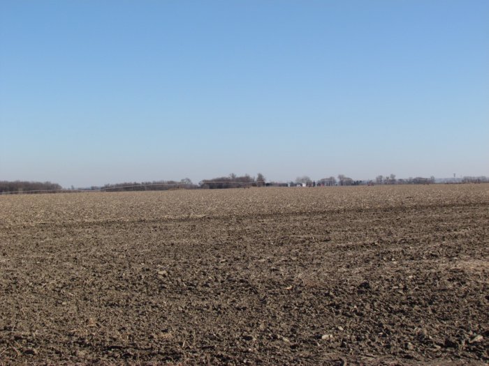
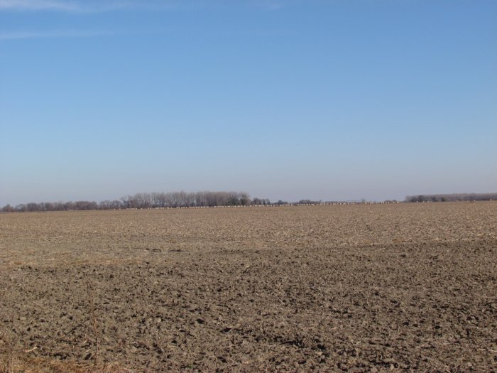
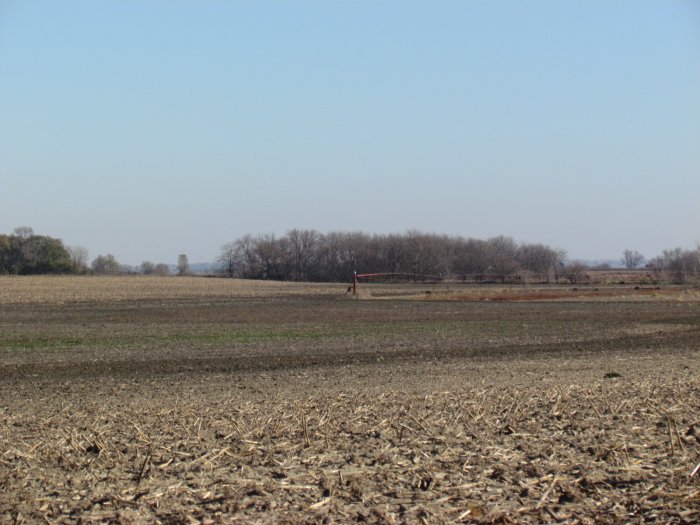
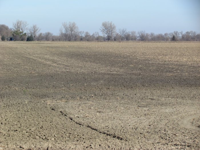
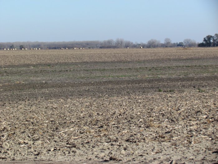
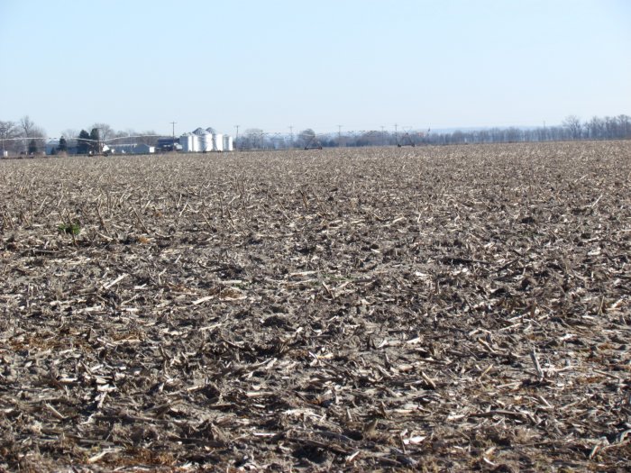
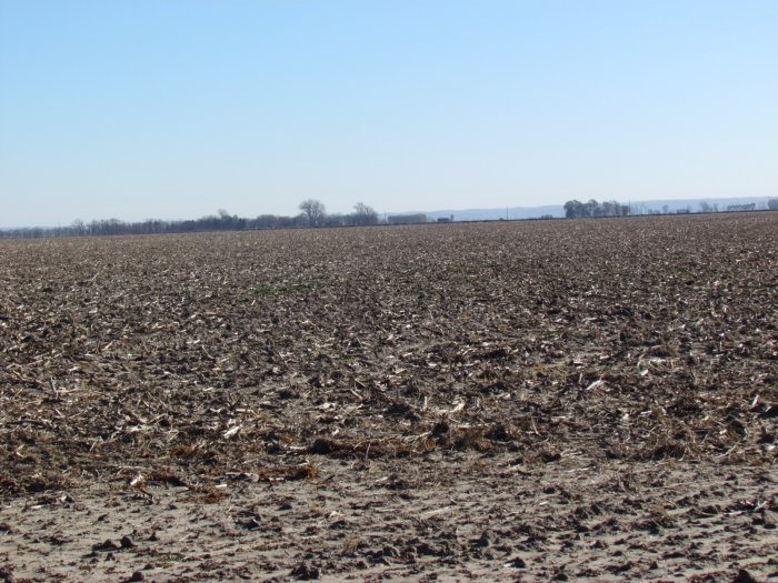
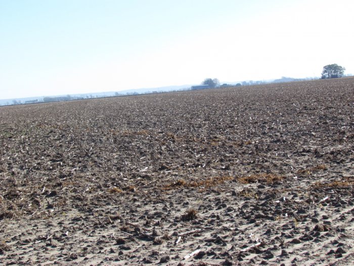
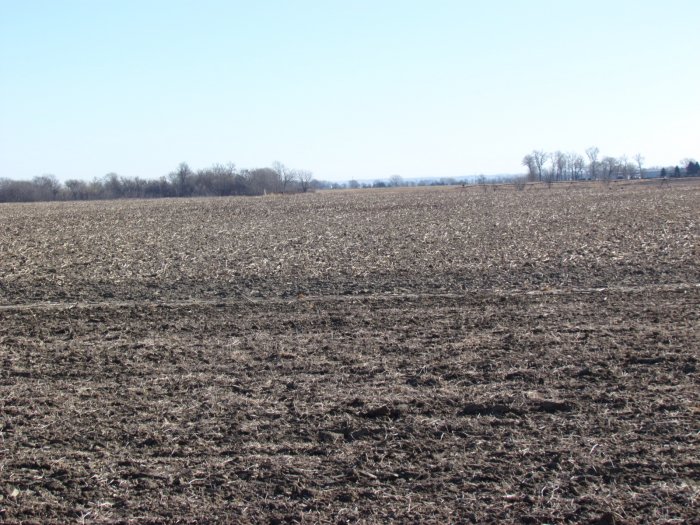
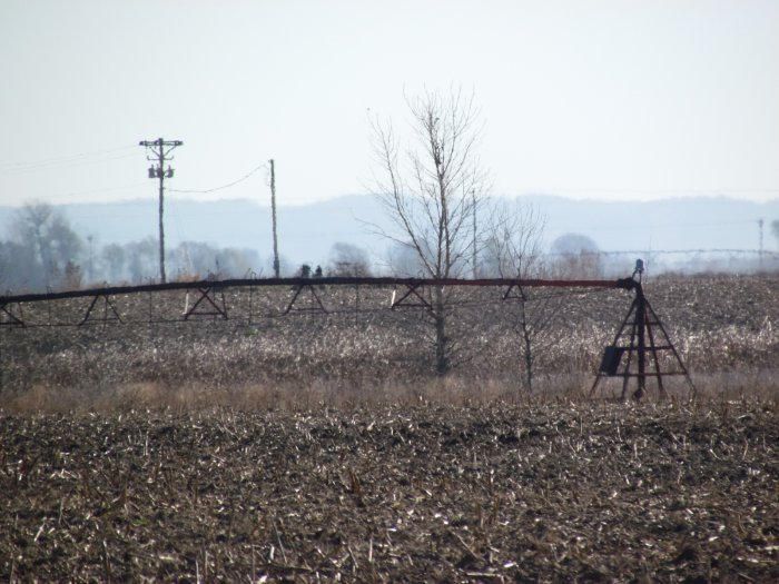
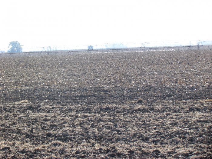
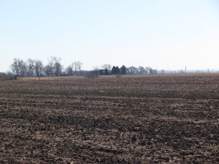
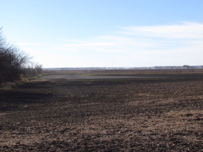
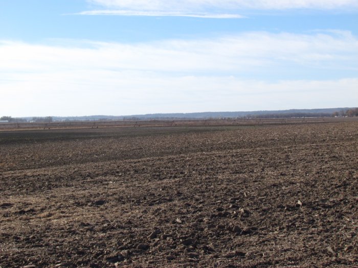
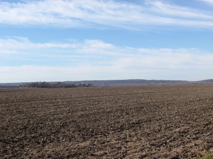
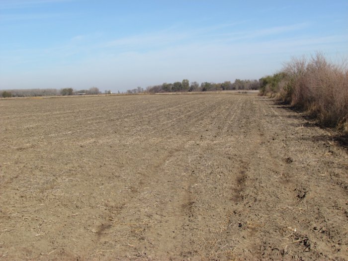
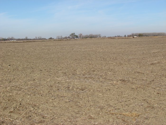
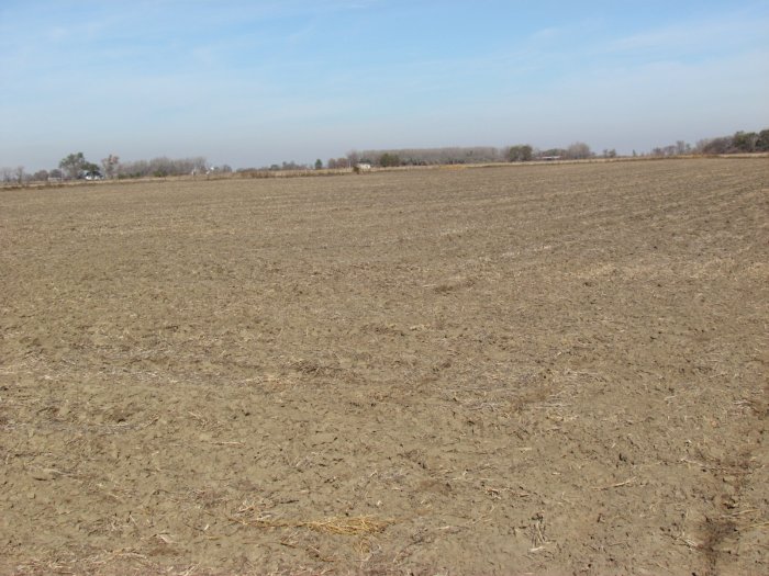
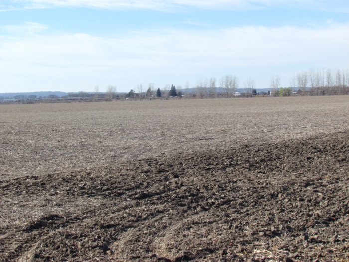
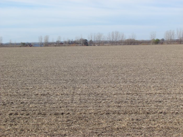
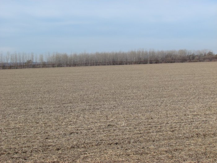
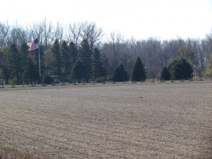
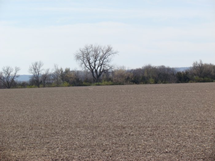
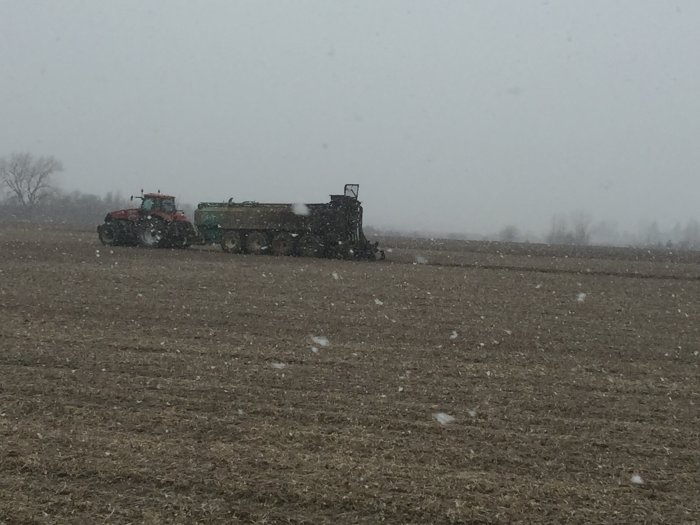
Photo Gallery 


Auction Description
IRRIGATED FARMLAND AUCTION
383.52 Acres m/l in 2 Parcels, Lincoln and Lake Townships, Monona
County, IA
Date: Sat., Jan. 21, 2017
Time: 10:00 a.m.
Auction Site:
Whiting Community Center
Address:
605 Whittier St.
Whiting, IA. 51063
Property Information
Location
Tract One: From I-29 (West Side) – Exit 120 Whiting, Iowa - K42/160th St. turn south on CR-K42 driving 1.1 miles, turn right onto 170th St. and drive 1.2 miles. This location places you on the north side of the farm.
Tract Two: From I-29 (East Side) – Exit 120 Whiting, Iowa - 160th St. turn north on Catalpa Ave. following road for 1.2 miles. This location places you on the east side of the farm.
The other small parcel (11.97 Ac.) that goes with this Tract is located directly west adjacent to DNR Land on other side of I-29. From K42 go north on Cashew Ave. following road for 1.2 miles. This location places you on south side of the parcel.
Legal Description
Tract One:
Northwest Quarter (NW ¼ ), the West Half of the West Half of the Northeast Quarter (W ½ , W ½ , NE ¼ ), the North Half of the Southwest Quarter (N ½ , SW ¼ ) and the West Half of the Northwest Quarter of the Southeast Quarter (W ½ , NW ¼ , SE ¼ ), all in Section Eight (8), Township Eighty-four (84) North, Range Forty-six (46) West, of the 5th P.M., in Monona County, Iowa. Lincoln Township
Tract Two:
The Northeast Quarter of the Northeast Quarter (NE¼ NE¼) of Section Thirty-two (32), Township Eighty-five (85) North, Range Forty-six (46) West of the 5th P.M., Monona County, Iowa, EXCEPT 23.30 acres as shown in Plat recorded in Book 9, Page 10, in the records of the Monona County Recorder.
The South Half of the Southwest Quarter (S½ SW¼) EXCEPT the North 66.02 feet of the Southwest Quarter of the Southwest Quarter; Also, Two (2) acres in the North Half of the Southwest Quarter (N½ SW¼) described as follows: Commencing at the Southeast corner of the Northwest Quarter of the Southwest Quarter, thence West 281.11 feet; thence to the North at a 90° angle 208.71 feet; thence East at a 90° angle 417.42 feet; thence South at a 90° angle 208.71 feet; thence West at a 90° angle 136.31 feet to point of beginning; all in Section Twenty-eight (28); and the North Half of the Northwest Quarter (N½ NW¼) of Section Thirty-three (33), all in Township Eighty-five (85) North, Range Forty-six (46) West of the 5th P.M., Monona County, Iowa, EXCEPT:
(a) That part of the Northeast Quarter of the Northwest Quarter of Section 33-85-46 described as: Commencing at the Southeast corner of the Northeast Quarter of the Northwest Quarter; thence North 20 rods; thence West 17 rods; thence South 20 rods; thence East 17 rods to the point of beginning, used for cemetery purposes.
(b) 1.27 acres in the Northeast Quarter of the Northwest Quarter of Section 33-85-46 described in Plat recorded in Book 9, Page 116, in the records of the Monona County Recorder, used for cemetery purposes.
(c) That part deeded to the State of Iowa by Warranty Deed recorded in Vol. 75, Page 11.
(d) Those parts described in Plat recorded in Book 9, Page 10, in the records of the Monona County Recorder.
AND
All that part of the Southwest Quarter of the Southwest Quarter of Section Twenty-eight (28), and all that part of the Northwest Quarter of the Northwest Quarter (NW¼ NW¼) of Section Thirty-three (33), all in Township Eighty-five (85) North, Range Forty-six (46) West of the 5th P.M., Monona County, Iowa, described as commencing at the Southwest (SW) corner of Section 28-85-46, thence South 88° 58' 52" East along the South line of the SW¼ SW¼ of said Section 28-85-46, 906.17 feet to the Point of Beginning, thence North 02° 08' 45" East 1302.58 feet, thence South 88° 32' 58" East 118.00 feet, thence South 02° 08' 45" West 1301.69 feet to a point on the North line of the NW¼ NW¼ of Section 33-85-46, thence South 01° 50' 04" West 1109.61 feet, thence North 23° 47' 25" West 272.85 feet, thence North 01° 50' 04" East 861.91 feet to the Point of Beginning.
Tract contains 3.53 acres in the SW¼ SW¼ of Section 28-85-46, and 2.67 acres in the NW¼ NW¼ of Section 33-85-46.
Real Estate Tax
Tract One: Annual Tax - $7,964.00 Taxable Acres – 272.36
Tract Two: Annual Tax - $3,148.00 Taxable Acres – 111.16
FSA Data
Tract One: Farm Tract 1811
Farmland and Cropland Acres: 277.69
Corn Base: 197.10 Ac.
Corn PLC Yield: 180 Bu.
Bean Base: 70.20 Ac.
Bean PLC Yield: 42 Bu.
CCC-505 CRP Reduction Acres: 10.40 Ac. at $3,341.00 Annually – Started 10-1-2014 goes till 9-30-2024. Buyer to Succeed to the Contract.
Tract Two: Farm Tract 8008
Farmland Acres: 115.36 and Cropland Acres: 112.10
Corn Base: 78.30 Ac.
Corn PLC Yield: 168 Bu.
Bean Base: 33.80 Ac.
Bean PLC Yield: 41 Bu.
Soil Types/Productivity
Tract One: Primarily Albaton silty clay and Haynie silt loam. See soil map for detail.
• CSR2: 72.1 per 2016 AgriData, Inc.
• CSR: 65.1 per 2016 AgriData, Inc.
Tract Two: Primarily Grable, Onawa, and Haynie. See soil map for detail.
• CSR2: 63.4 per 2016 AgriData, Inc.
• CSR: 62.1 per 2016 AgriData, Inc.
Three Year Crop History By Ken Carlson
Tract One: 2014 – Corn 199 Bu/Ac, 2015 – Beans 53 Bu/Ac, 2016 – Beans 56 Bu/Ac and Seed Corn 104% of Yield Goal.
Tract Two: 2014 – Beans 57 Bu/Ac, 2015 – Corn 224 Bu/Ac, 2016 – Beans 65 Bu/Ac.
Land description
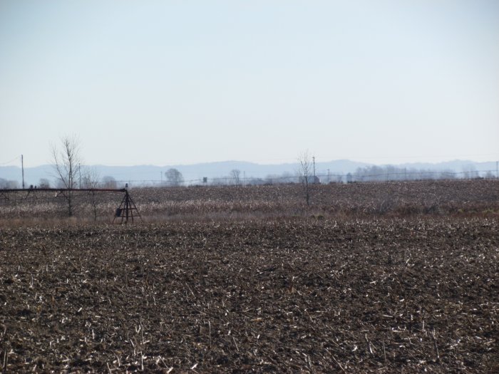
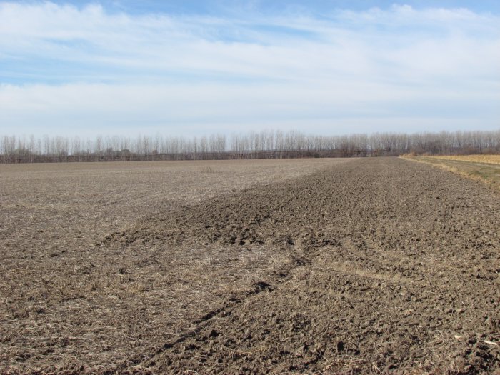
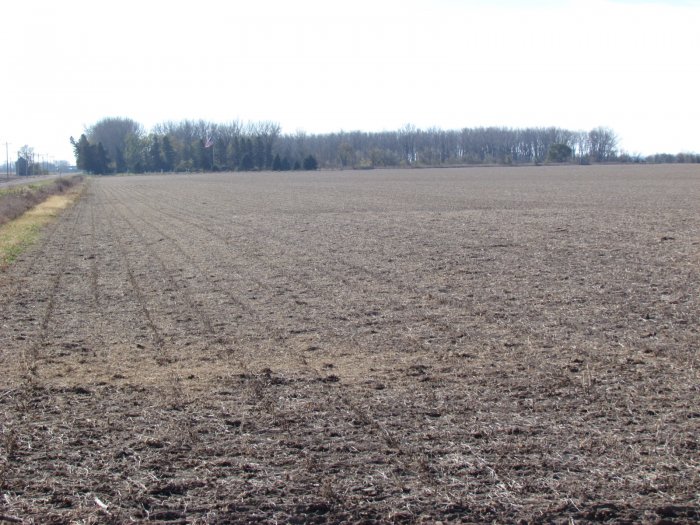
Irrigated Level Bottom Land
Improvements
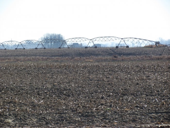
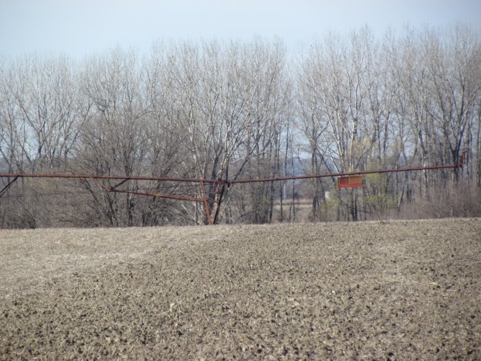
Tract One: Zimmatic Center Pivot Irrigation System – 9 tower approximately 12 years old with 40 H.P. electric motor 7 years old, and a 1973 Olson Center Pivot Irrigation System – 13 tower electric driven, power unit for well not included.
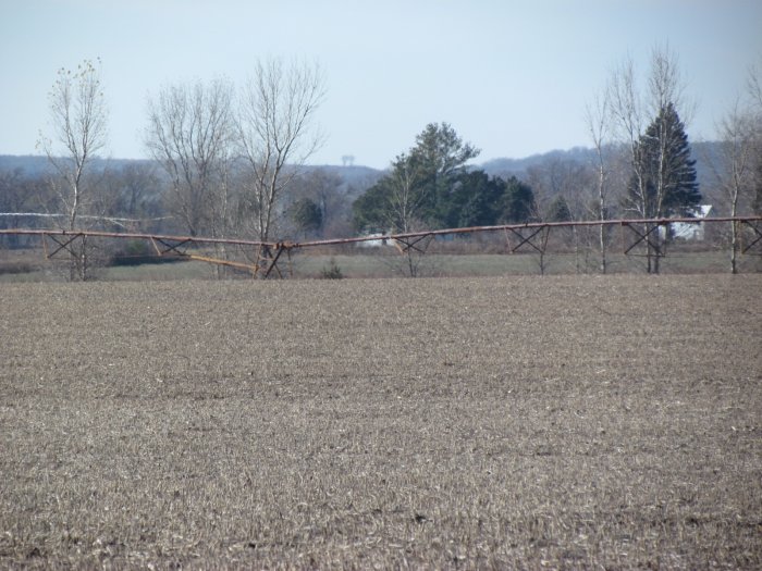
Tract Two: Zimmatic Center Pivot Irrigation System – 7 tower approximately 5 years old with 40 H.P. electric motor 3 years old.
Auction Information
Method of Sale
• Property will be offered as two individual Tracts.
• Bids will be $/acre using a multiplier of 272.36 Acres for Tract One and $/acre using a multiplier of 111.16 for Tract Two.
• Sellers reserve the right to refuse any and all bids.
Sellers
Langren Farms and Mary Frances Langren Estate – D.R. Langren and Carl Langren - Co-Executors.
Attorney
Michael Jensen Ph. 712-423-1652
Agency
McCall Auctions and Real Estate and their representatives are Agents for the Sellers.
Terms
10% down payment required the day of the sale. Successful bidders are purchasing with no financing contingencies and must be prepared for cash settlement of their purchase on or before March 1, 2017 or after any objections to title have been cleared. Final settlement will require certified funds or wire transfer. Full Possession and 2017 Farming Rights to be given Buyer at settlement. Taxes will be prorated to Date of Closing.
Notice:
Buyer of Tract One – shall reimburse for the Fall Tillage work of $3,450.
Buyer of Tract Two - shall reimburse for insertion of 397,623 gallons of hog manure which come up to a cost of $14,044.35 to apply.
Breakdown Analysis of Soil Test for Hog Manures Value
N – 234 lbs. per acre – cost value $.35 per unit or $81.90 per acre.
P – 115 lbs. per acre – cost value $.42 per unit or $48.30 per acre.
K – 160 lbs. per acre – cost value $.25 per unit or $.40.00 per acre.
S – 30 lbs. per acre – cost value $.30 per unit or $9.00 per acre.
Z – 1.5 lbs. per acre – cost value $.92 per unit or $2.50 per acre.
TOTAL VALUE PER ACRE - $181.70
Announcements
Property is being sold on an “AS IS, WHERE IS” basis, and no warranty or representation, either express or implied, concerning the properties is made by the Sellers or the auction company. Each potential bidder is responsible for conducting his or her own independent inspections, investigations, inquiries, and due diligence concerning the properties. The information contained in this advertising is believed to be accurate but is subject to verification by all parties relying on it. No liability for its accuracy, errors or omissions is assumed by the Sellers or the Auction Company. All sketches and dimensions in this brochure are approximate. All acreages are approximate and have been estimated based on legal descriptions or aerial photographs. Conduct at the auction and increments of bidding are at the direction and discretion of the auctioneer. The Sellers and Auction Company reserve the right to preclude any person from bidding if there is any question as to the person’s credentials, fitness, etc. All decisions of the Auctioneer and Sellers' at the auction are final.
Contact Russ McCall for further information or detailed brochure Ph: 712-423-1901
For Complete Details, Photos, and Maps Log Onto: archive.mccallauctions.com
Auction Conducted By:
McCall Auctions and Real Estate
905 Iowa Avenue
Onawa, IA
712-423-1901
Russ and Brent McCall, Auctioneers
Loretta McCall and Andrea Meyer, Clerks