Land Auction - 181.48 Acres of Prime Maple River Bottom - Center Township
Thursday, August 22, 2013 at 10:00am
Mapleton, IA
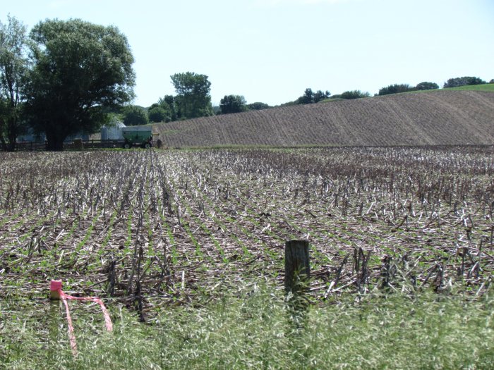
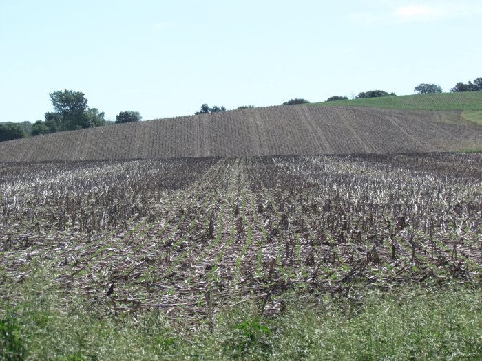
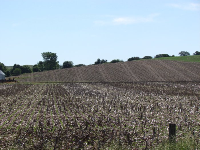
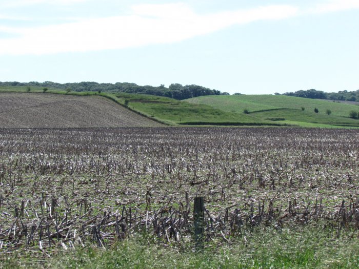
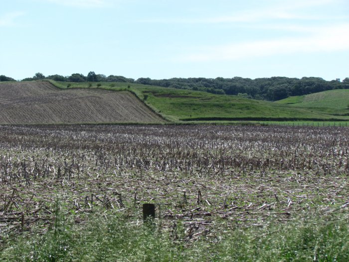
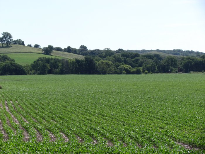
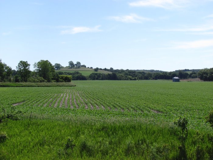
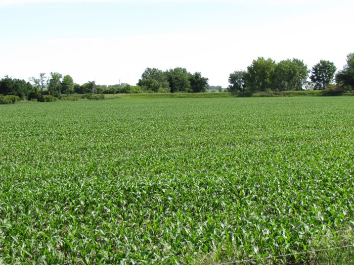
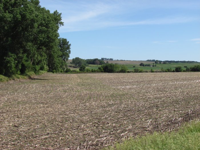
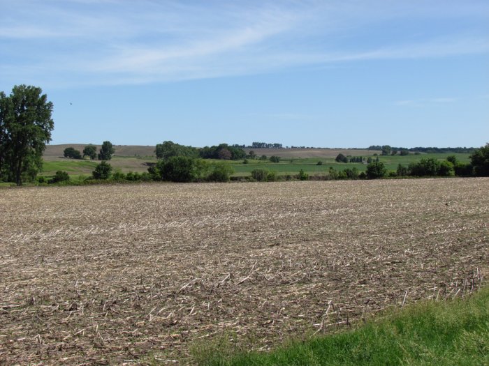
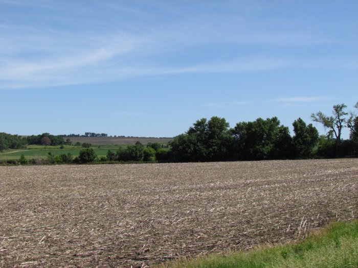
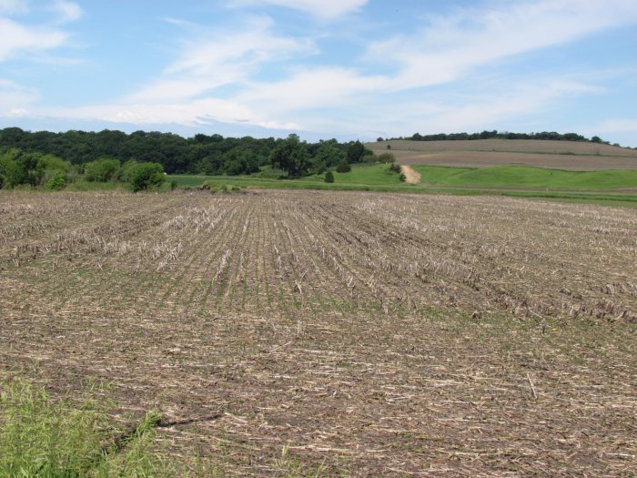
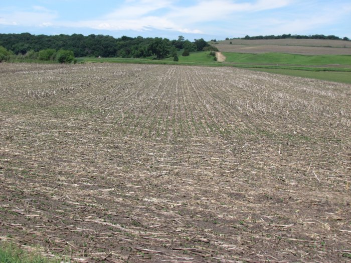
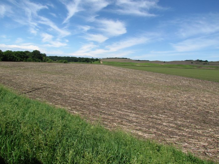
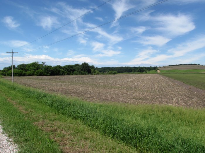
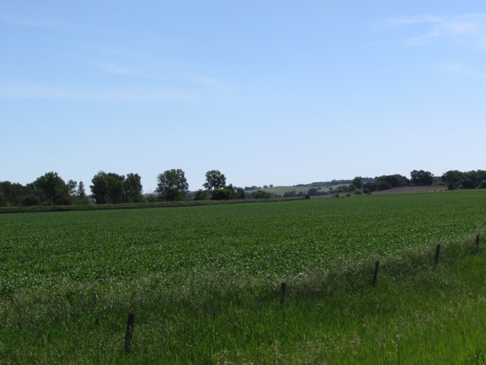
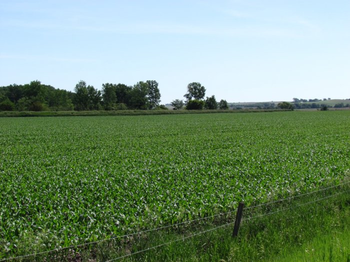
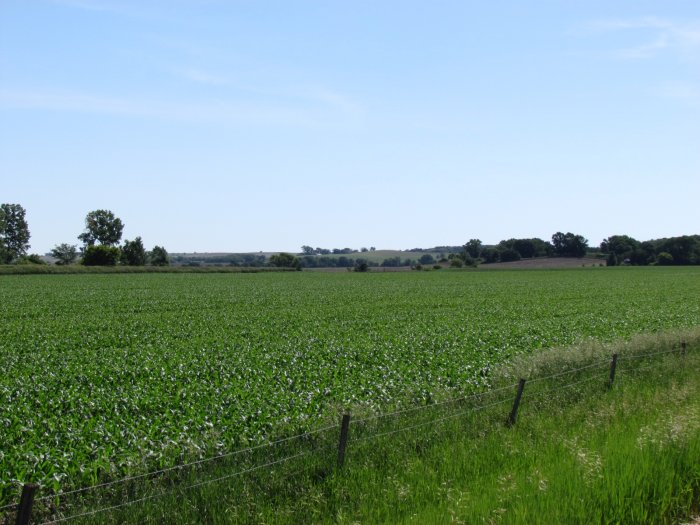
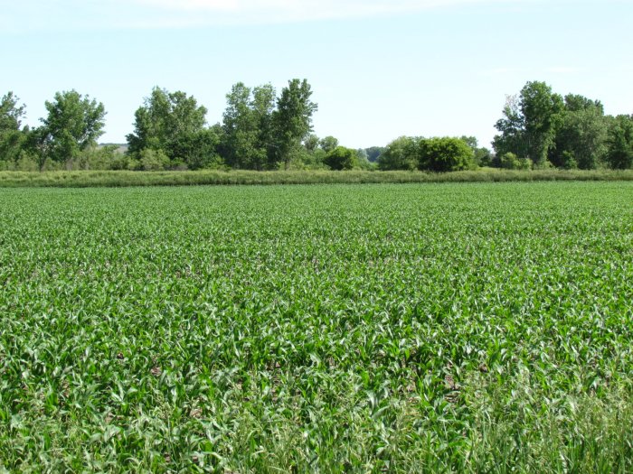
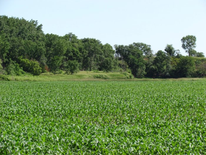
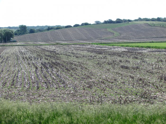
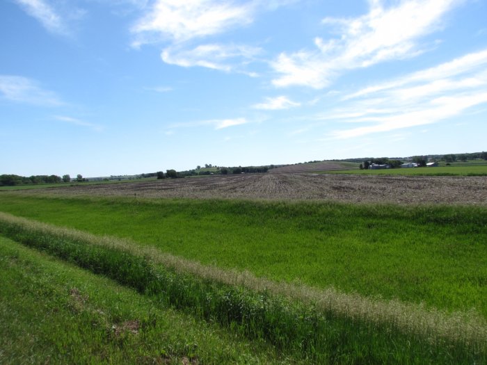
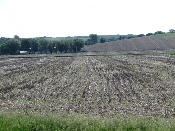
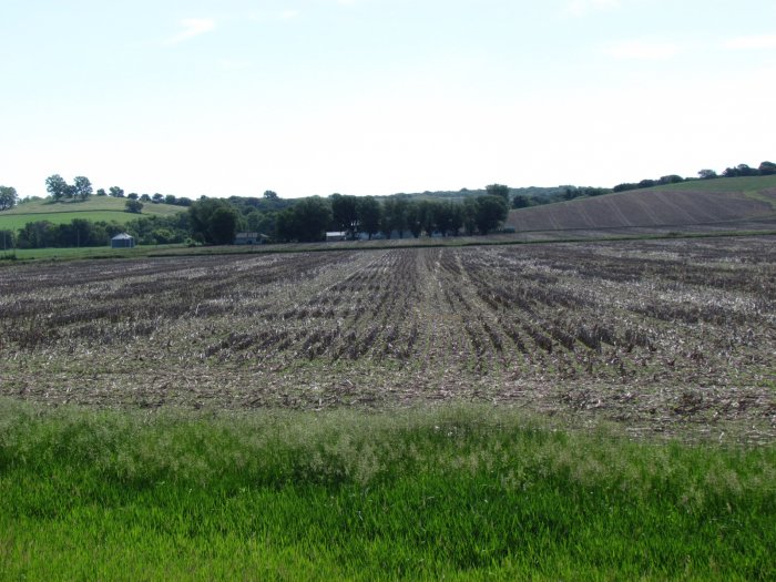
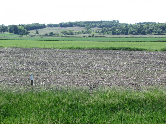
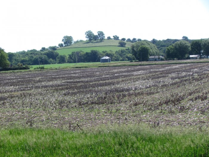
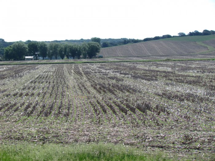
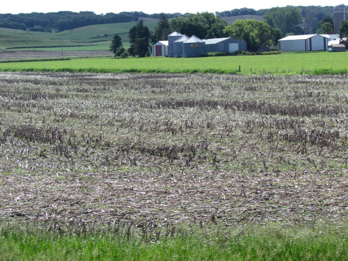
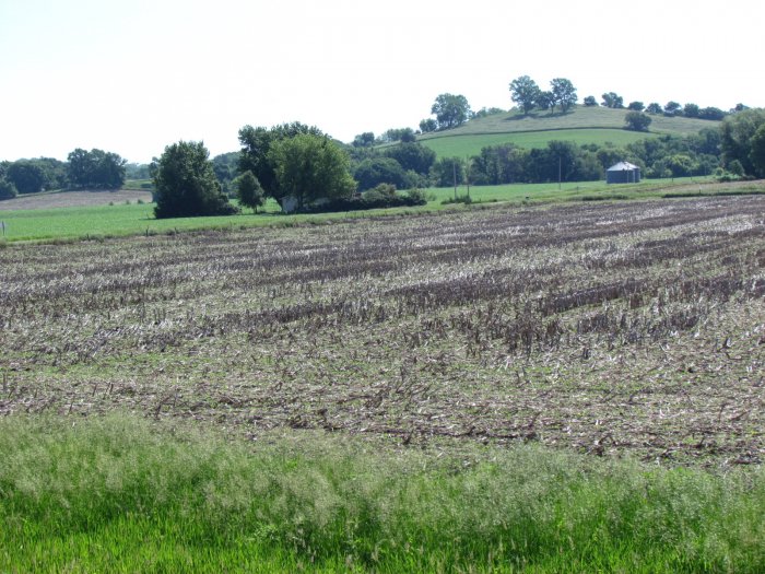
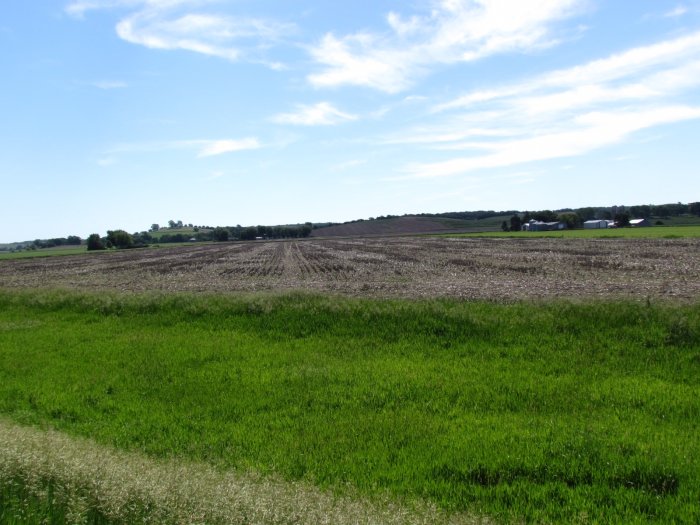
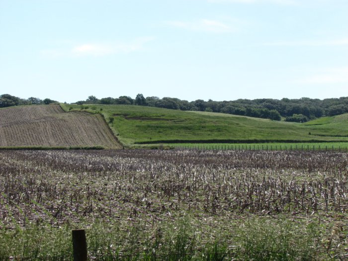
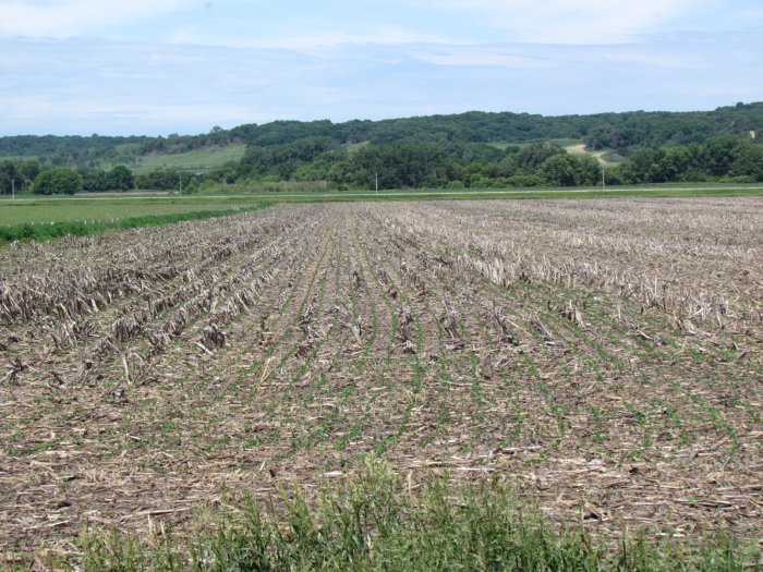
Photo Gallery 


Auction Description
LAND AUCTION
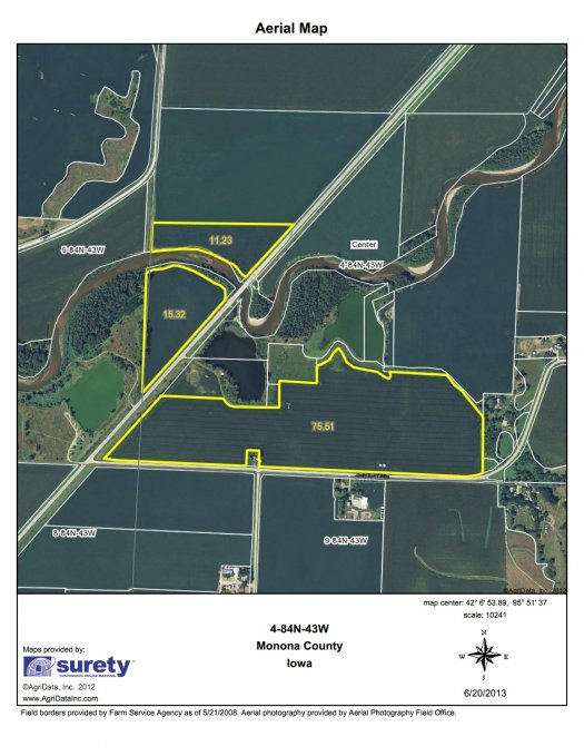
181.48 Acres +/- Monona County, IA. Offered in 3 Individual Tracts
Thursday, August 22, 2013 ~ 10:00 A.M.
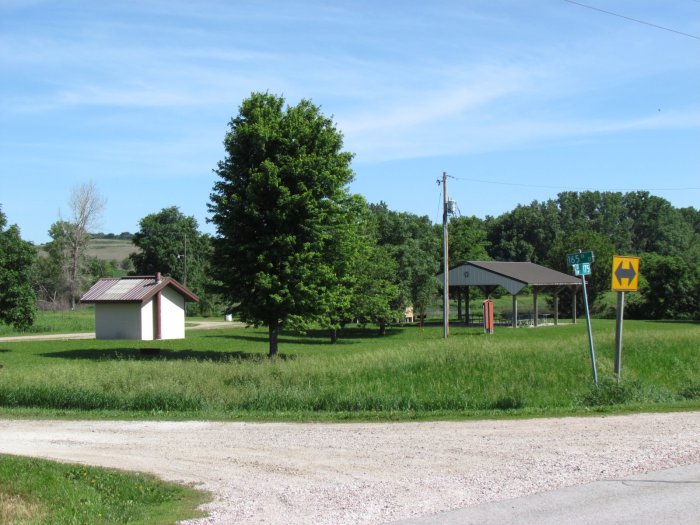
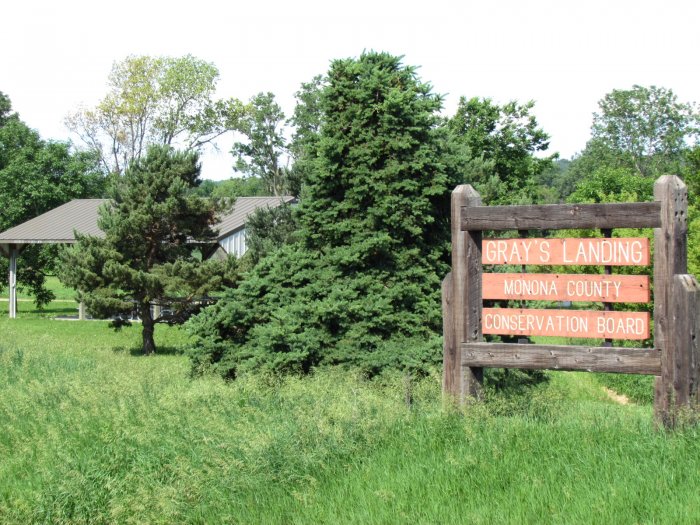
Sale Site: Grays Landing, 34870 State Hwy 175, from Castana take Hwy 175 NE 3.4 miles arriving on the left, or from Mapleton take Hwy 175 SW 5 miles arriving on the right. Watch for Sign.
• Highly Productive Tillable Farmland • 1031 Exchange Opportunity • Nearby Grain Market • In close proximity to the Loess Hills • Excellent Location
PROPERTY LOCATION
Address: 35498 – 165th Street, Mapleton, Iowa 51034
Tract 1: From Gray’s Landing (Sale Site) drive east on 165th Street 0.3 miles, turn right on Pine Avenue and drive 0.2 miles. At this point land lies on the left.
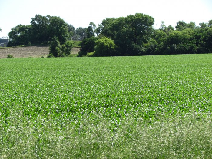
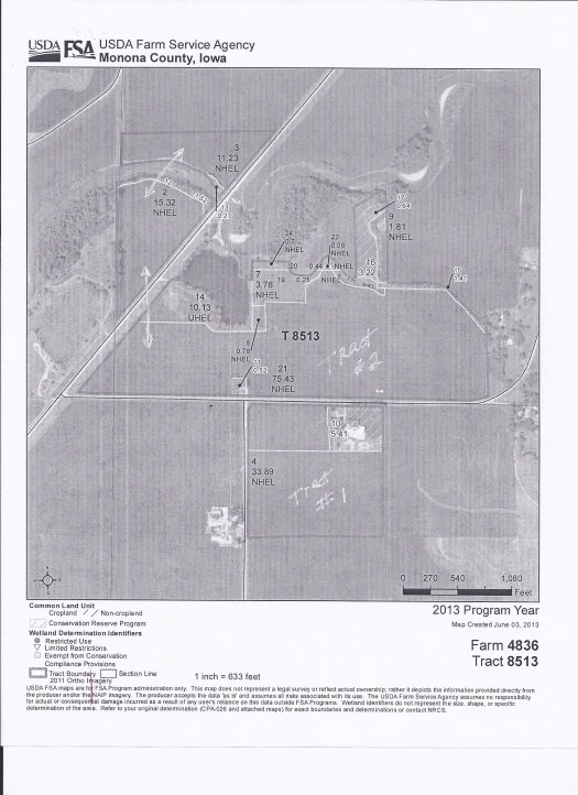
Tract 2: From Gray’s Landing (Sale Site) drive 0.4 miles Northeast on Hwy 175 to view part of Tract 2 on the left; and from Junction of Hwy 175 and 165th Street drive east slowly for 0.7 miles looking to the left going past the 2 Grain Bins. All this land lying north of 165th Street is included in Tract 2 along with Tract west of Hwy 175.
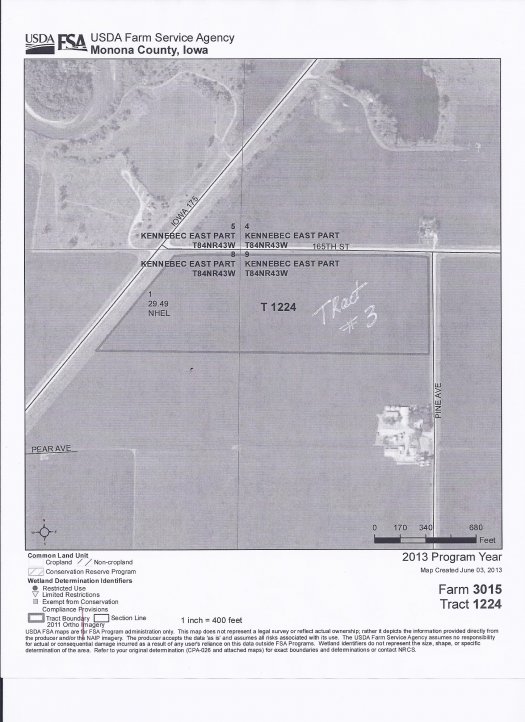
Tract 3: from Junction of Hwy 175 and 165th Street drive east slowly for 0.3 miles looking to the right ending at Pine Avenue. Tract 3 lies south of 165th Street.
LEGAL DESCRIPTIONS
Tract 1: The Northeast Quarter of the Northwest (NE1/4 NW1/4) of Section Nine (9), Township Eighty-Four (84) North, Range Forty-Three (43) West of the 5th P.M., Monona County, Iowa, Except: (1) 5.94 acres described in Plat recorded in Plat Book 6, Page 40. (2) 8.93 acres described in Plat recorded in Plat Book 15, Page 77. (Taxable Acres: 24.50)
Tract 2: The South Half of the Southwest Quarter (S1/2 SW1/4) and the Northwest Quarter of the Southwest Quarter (NW1/4 SW1/4) of Section Four (4), Township Eighty-Four (84) North, Range Forty-Three (43) West of the 5th P.M., Monona County, Iowa, Except 4.96 acres for right of way the Chicago & Northwestern Rail Road Company, and Except 7.501 acres for public highway, Except: (1) That part thereof described in Warranty Deed recorded in Land Deed Book 77, Page 462; (2) That part of thereof described in Plat recorded in Plat Book 6, Page 61; (3) That part thereof described in Warrant Deed recorded in Land Deed Book 112, Page 213; (4) That part thereof described in Warrant Deed recorded in Land Deed Book 112, Page 214.
AND
A parcel of land located in the West Half of the Southwest Quarter (W1/2 SW1/4) of Section Four (4), Township Eighty-Four (84) North, Range Forty-Three (43) West of the 5th P.M., Monona County, Iowa, described as follows: Commencing at the SW corner of said Section 4; thence N 0 ⁰ 00.0’ E, 751.0 feet along the west line of the SW1/4 SW1/4 of said Section 4 to the point of beginning; thence continuing N 0 ⁰ 00.0’ E, 128.6 feet along the west line of the SW1/4 SW1/4 of said Section 4; thence N 38⁰ 27.8’ E, 2153.7 feet to a point on the east line of the NW1/4 SW1/4 of said Section 4; thence S 0⁰ 05.9’ E, 128.3 feet along the east line of the NW1/4 SW1/4 of said Section 4; thence S 38⁰ 27.8’ W, 2154.1 feet to the point of beginning, containing 3.95 acres, Except that part thereof deeded to the State of Iowa by Quit Claim Deed recorded in Land Deed Book 96, Page 45.
AND
A 10 acre parcel, more or less, enclosed within the following described line: From the Northeast corner of the Southeast Quarter of the Southwest Quarter of Section 4, Township 84 North, Range 43 West of the 5th P.M., West 420 feet, thence North to North bank of Maple River, thence East along river bank to the East line of the Northeast Quarter of the Southwest Quarter (NE1/4 SW1/4) of Section 4, thence South to the starting point: Northeast corner of the Southeast Quarter of the Southwest Quarter (SE1/4 SW1/4) of Section Four (4), Township Eighty-Four (84) North, Range Forty-Three (43) West of the 5th P.M., Monona County, Iowa.
AND
All that part of the Southwest Quarter of the Southeast Quarter of Section Four (4), Township Eighty-Four (84) North, Range Forty-Three (43) West of the 5th P.M., Monona County, Iowa, described as beginning at the South Quarter corner of Section 4-84-43, thence North 01⁰ 06’ 45” East along the West line of the SW1/4 of Section 4-84-43, 1137.20 feet to the centerline of existing ditch, thence along said centerline South 86⁰ 18’ 50” East 593.85 feet, thence South 49⁰ 15’ 20” East 512.15 feet, thence leaving ditch centerline South 07⁰ 34’ 00” West 204.40 feet, thence South 03⁰ 25’ 20” East 540.00 feet to the centerline of 165th Street, thence due South 18.15 feet to the South line of the SE1/4 of Section 4-84-43, thence South 89⁰ 44’ 00” West along said South line 1008.10 feet to the Point of Beginning.
Tract contains 23.55 acres, including public road, and 22.77 acres, excluding public road.
AND
That part of the Southeast Quarter of the Southeast Quarter (SE1/4 SE1/4) of Section Five (5), Township Eighty-Four (84) North, Range Forty-Three (43) West of the 5th P.M., Monona County, Iowa, lying East of the right-of-way of Highway 175, as now located, containing 1.9 acres, more or less. (Taxable Acres: 129.40)
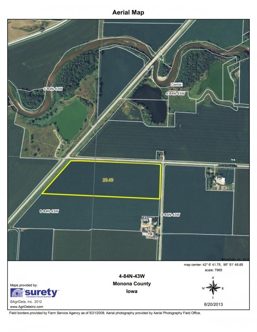
Tract 3: All that part of the North Half of the Northeast Quarter of the Northeast Quarter (N1/2 NE1/4 NE1/4) of Section Eight (8), Township Eighty-Four (84) North, Range Forty-Three (43), lying South and East of the Primary Road No. 35, and also the North Half of the Northwest Quarter of the Northwest Quarter (N1/2 NW1/4 NW1/4) of Section Nine (9), Township Eighty-Four (84) North, Range Forty-Three (43) West of the 5th P.M., Monona County, Iowa. (Taxable Acres: 27.58)
TRACT DESCRIPTIONS
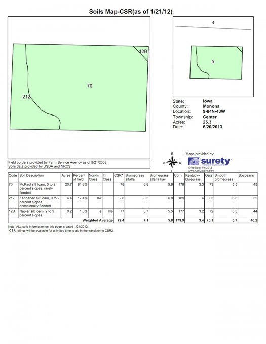
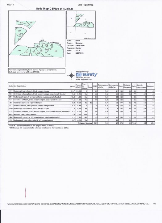
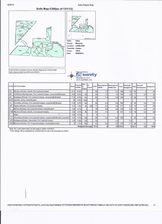
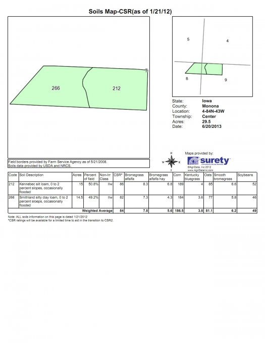
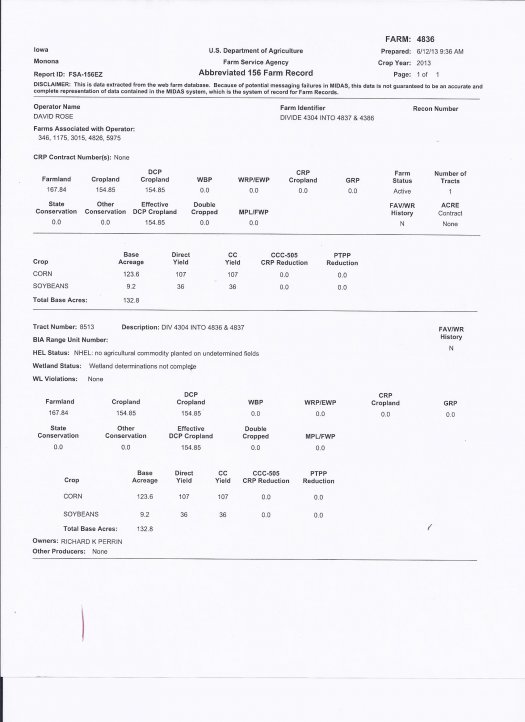
FSA Information for whole farm (Perrin): (Farm No. 4836 Tract No. 8513) Section 4, 5, and 9 Center 84N 43W): Farmland – 167.84, Cropland – 154.85, Corn Base – 123.6, Direct Yield & CC Yield - 107/107 bushels/acre , Soybean Base – 9.2, Direct Yield & CC Yield - 36/36 bushels/acre. Tracts if sold individually will have to be adjusted by FSA Office for 2014 and County Assessor as Tract 1 was slit off. Farmland acres reflect of what once was. The Cropland Acres are approximate as seen below, but close and have been figured by using Surety Mapping System. We have got the numbers as close as possible using the information from Monona County FSA and Monona County Assessor. CSR’s run from mainly 79 to 86 across all crop acres including Tract 2, but the CSR land adjacent gravel pit is lower. The numbers above (FSA) are higher because of 3.22 acres that was not excluded and measurement by FSA that took property line too far north into the water which added acres.
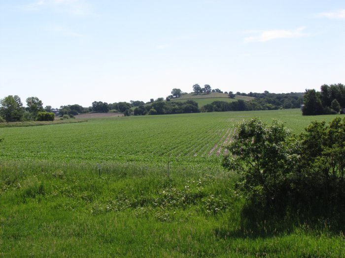
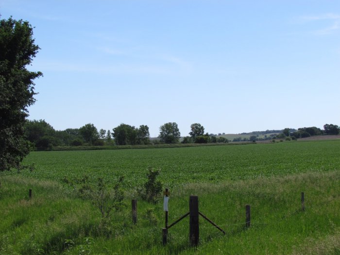
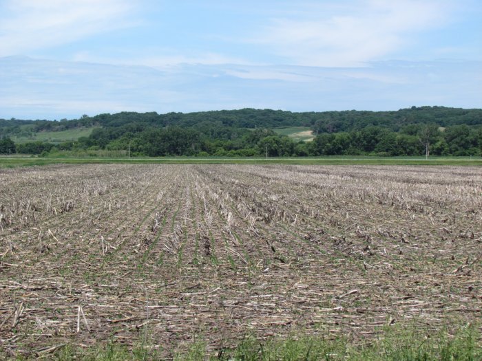
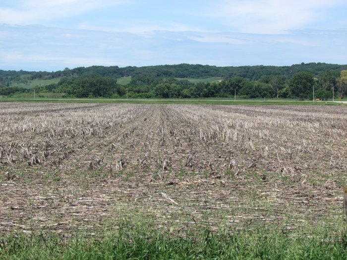
Tract 1: 24.50± ac. Productive bottom land. Cropland – 25.3 Soils: primarily McPaul silt loam, Kennebec silt loam. CSR: Weighted Average – 79.4 Annual Taxes: $660.
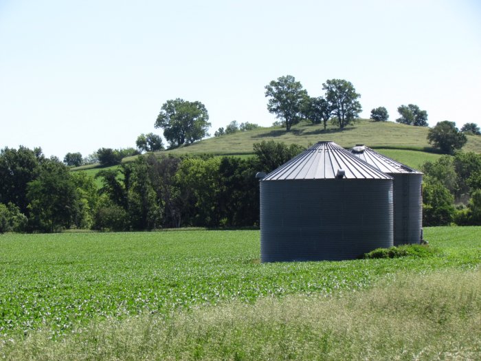
Tract 2: 129.40± ac. Productive bottom land. Cropland – 112 plus 7.06 acres was recently taken back out of Conservation Reserve, plus the balance would be grass, trees, and water. Included with this Tract are a Dryer Grain Bin 30x20 built in 1974 and Dryer Grain Bin 30x18 built in 1982. Soils: primarily for over 100 acres of the cropland: Monona silt loam, Smithland silty clay loam, Nodaway silt loam, and Kennebec silt loam. CSR: Weighted Average Cropland – 79.7. CSR Weighted Average for the whole is 67.5 Annual Taxes: $3094.
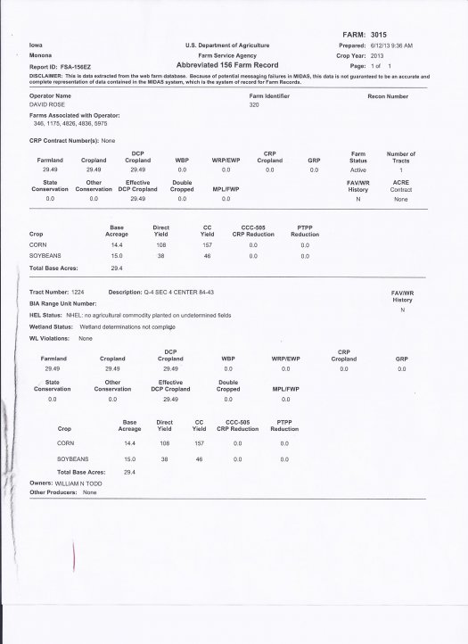
FSA Information: (Todd Trust): (Farm No. 3015 Tract No. 1224) Section 8, and 9 Center 84N 43W): Farmland – 29.49, Cropland – 29.49, Corn Base – 14.4, Direct Yield & CC Yield - 108/157 bushels/acre , Soybean Base – 15.0, Direct Yield & CC Yield - 38/46 bushels/acre.
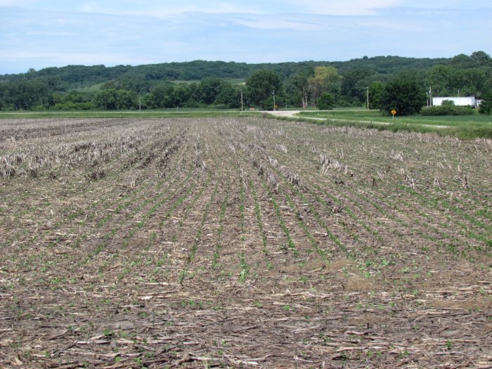
Tract 3: 27.58± ac. Productive bottom land. Cropland – 29.49 Soils: primarily Kennebec silt loam and Smithland silty clay loam. CSR: Weighted Average - 84. Annual Taxes: $816.
AUCTION TERMS & CONDITIONS:
PROCEDURE: The property will be offered in 3 individual Tracts for bidding and will not be combined for bidding purposes. The sale price will be determined by taking taxable acres times the final price bid per acre.
DOWN PAYMENT: 10% down payment on the day of the auction with the balance in cash or certified funds at closing. The down payment may be made in the form of cash, cashier's check, personal check or corporate check. Your bidding is not conditioned upon financing, so be sure you have arranged financing, if needed, and are capable of paying cash or certified funds at closing.
ACCEPTANCE OF BID PRICES: The successful bidder will sign a purchase agreement at the auction site immediately following the close of bidding. The final bid price is subject to the Seller’s approval. Such approval shall occur at the auction on auction day.
CLOSING: Closing shall occur on or before November 6, 2013, and in accord with the specific terms of the Agreement to Purchase. Possession shall be given at closing, subject to the remaining rights of the current tenant(s) for crop year 2013. Buyer will have Full possession of the crop land for the 2014 crop year. Real Estate Taxes will be prorated to date of closing. The closing will be handled by Michael Jensen Attorney - 710 Iowa Avenue, Onawa, Iowa 51040 Ph: 712-423-1652 or email: mpjensen@longlines.com
TITLE: Sellers are the sole owner’s fee simple of the property.
EASEMENTS AND LEASES: Sale of said property is subject to any and all easements of record and any and all leases.
MINERAL RIGHTS: The sale of the property shall include all mineral rights owned by the Sellers, if any.
AGENCY: McCall Auctions & Real Estate and its representatives are exclusive agents of the Sellers.
DISCLAIMER AND ABSENCE OF WARRANTIES: All information contained in this brochure and any related materials are subject to the terms and conditions outlined in the Agreement to Purchase. ANNOUNCEMENTS MADE BY THE AUCTIONEER AT THE AUCTION PODIUM DURING THE TIME OF THE SALE WILL TAKE PRECEDENCE OVER ANY PREVIOUSLY PRINTED MATERIAL OR ANY OTHER ORAL STATEMENTS MADE. STATEMENTS, PROMISES, OR INDUCEMENTS MADE AT THE AUCTION THAT ARE NOT CONTAINED IN THE WRITTEN AGREEMENT TO PURCHASE SHALL NOT BE VALID AND BINDING. The properties are being sold on an “AS IS, WHERE IS” basis, and no warranty or representation, either express or implied, concerning the property is made by the Sellers or the auction company. Each potential bidder is responsible for conducting his or her own independent inspections, investigations, inquiries, and due diligence concerning the property. The information contained in this advertising is believed to be accurate but is subject to verification by all parties relying on it. No liability for its accuracy, errors or omissions is assumed by the Sellers or the Auction Company. All sketches and dimensions in this brochure are approximate. All acreages are approximate and have been estimated based on legal descriptions or aerial photographs. Conduct at the auction and increments of bidding are at the direction and discretion of the Auctioneer. The Sellers and Auction Company reserve the right to preclude any person from bidding if there is any question as to the person’s credentials, fitness, etc. All decisions of the Auctioneer and Sellers' at the auction are final.
AUCTION COMPANY AND SELLERS ARE NOT RESPONSIBLE FOR ACCIDENTS.
.
NEW DATA, CORRECTIONS AND CHANGES: Please arrive prior to scheduled auction time to inspect any changes, corrections, or additions to the property information.
NOTE: Videotaping, flash photography, and/or public announcements will be allowed on auction day ONLY with prior approval from McCall Auctions & Real Estate.
Sellers: Richard K. Perrin and William Newton Todd and Sherrill Hawkins Todd Revocable Trust dated Feb. 4, 2004
Michael Jensen, Attorney
Contact Russ McCall for further information Ph: 712-423-1901
For Complete Details, Photos, and Maps Log Onto: archive.mccallauctions.com
Auction Conducted By:
McCall Auctions and Real Estate
706 Iowa Avenue
Onawa, IA
712-423-1901
Russ and Brent McCall, Auctioneers
Loretta McCall and Andrea Meyer, Clerks